To celebrate the 50th anniversary of the C&O Canal becoming a National Historical Park, we are featuring 50 Canal Stories throughout 2021. Each story will take a look at a person’s relationship with the C&O Canal. Whether an NPS ranger, a volunteer, or a visitor, everyone has a story to tell about the canal! If you want to share your story, submit it to us at the link here, email it to us at [email protected] or post it on your social media feeds with the hashtag #MyCanalStory.
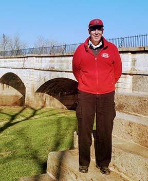
Brody Reppe, Eight-Year-Old Park Volunteer, C&O Canal Trust Fundraiser, & Towpath Bike Rider
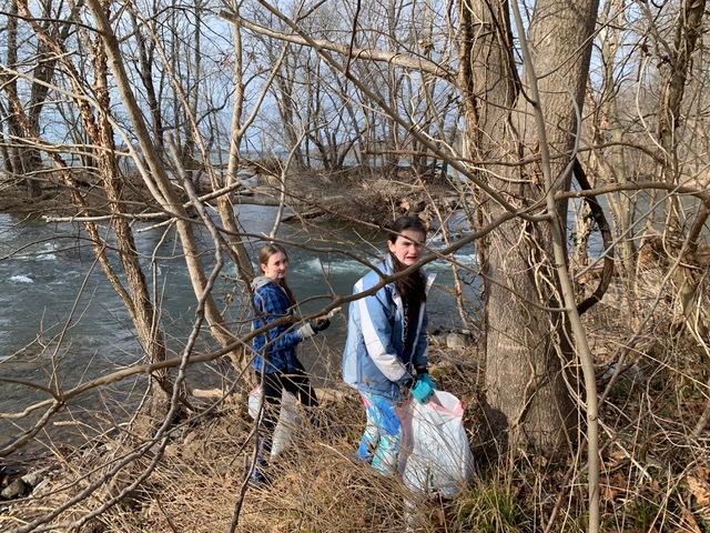
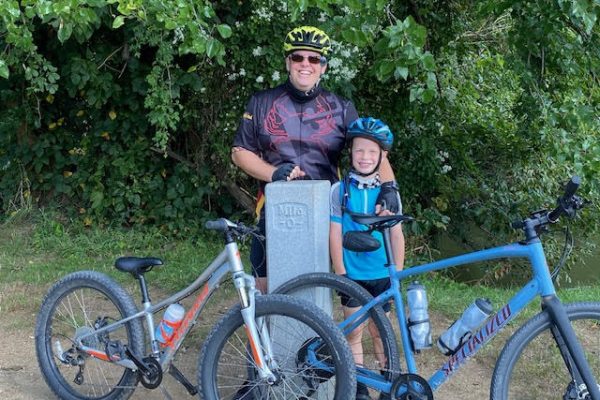
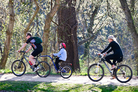
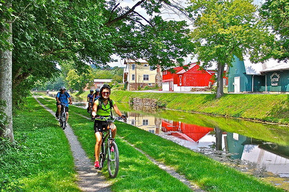
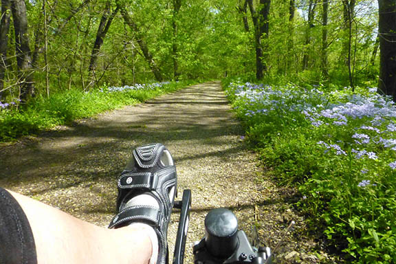
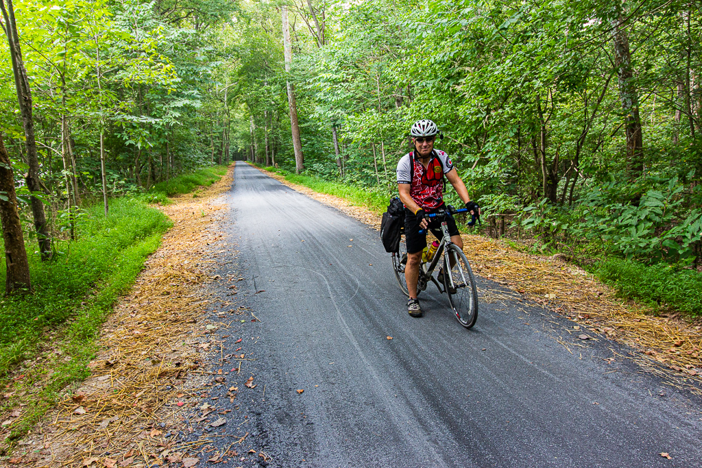
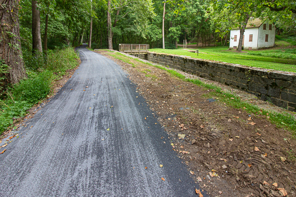
This past summer, eight-year-old Brody Reppe learned how to ride his bike and spent time riding with his father on the C&O Canal towpath. Upon learning that the C&O Canal Trust raised money to help maintain the towpath’s surface, Brody decided he wanted to help. He signed up for our TowpathGO! fundraiser and raised over $6,500! In January, Brody was awarded WTOP’s Top Kid Award; he donated 25% of his award winnings back to the Trust. To read more about Brody’s extraordinary accomplishment, visit WTOP here.
To celebrate the 50th anniversary of the C&O Canal becoming a National Historical Park, we are featuring 50 Canal Stories throughout 2021. Each story will take a look at a person’s relationship with the C&O Canal. Whether an NPS ranger, a volunteer, or a visitor, everyone has a story to tell about the canal! If you want to share your story, submit it to us at the link here, email it to us at [email protected] or post it on your social media feeds with the hashtag #MyCanalStory.
Patricia Barber, Retiring Director of Development of the C&O Canal Trust
C&O Canal Trust: What is your relationship with the Canal?
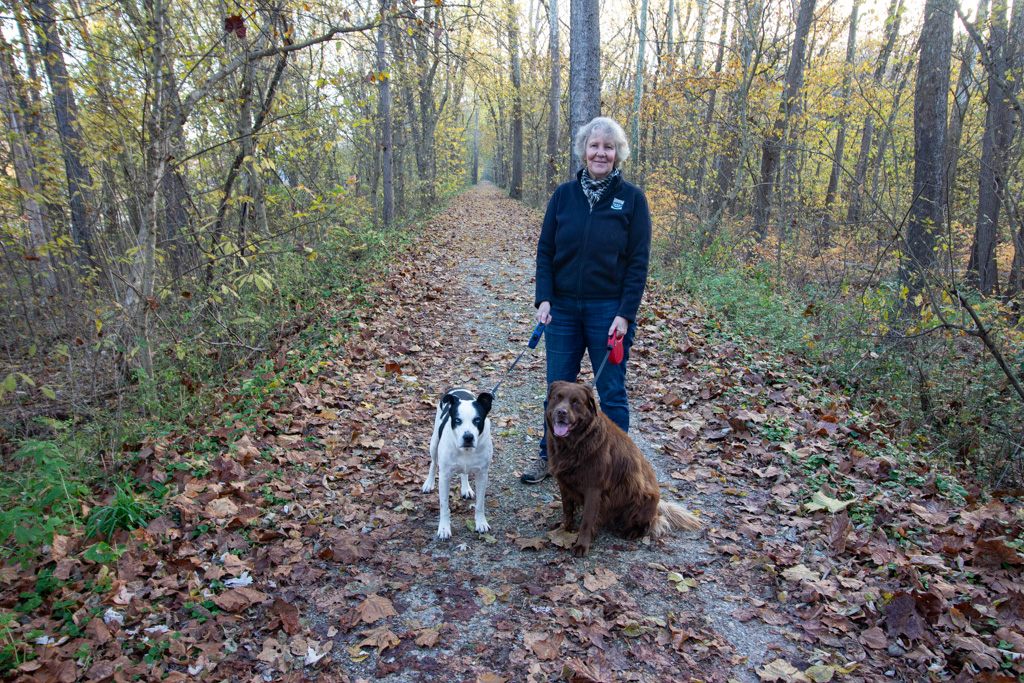
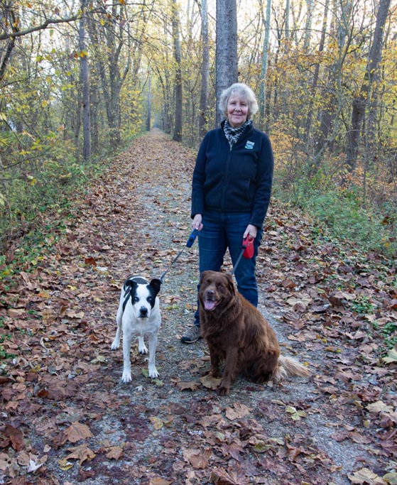
Patricia: I was introduced to the C&O Canal in 1979 when I arrived in the DC area from what was then Rhodesia to attend grad school. The civil war in Rhodesia in the 1970s had rendered the countryside unsafe, so I was enchanted that I could explore this national park alone and in safety. Since then, I have been an enthusiastic Park user – hiking, biking, walking three generations of hounds, paddling on the river, learning the canal’s history, and just loving its natural beauty. My husband and I have also owned two homes within walking distance of the canal and I have been privileged to work for the C&O Canal Trust as its Director of Development for five years.
C&O Canal Trust: Our readers may not know that you are retiring from the C&O Canal Trust at the end of January 2021. What is your favorite project or accomplishment you were a part of during your time with the Trust?
Patricia: Engaging with so many wonderful Trust supporters whose generosity will leave an enduring legacy for the C&O Canal lovers of the future.
C&O Canal Trust: What is your favorite Canal memory?
Patricia: Watching my son (now 30) toddling among the bluebells along the towpath.
C&O Canal Trust: What is your favorite spot on the canal and why?
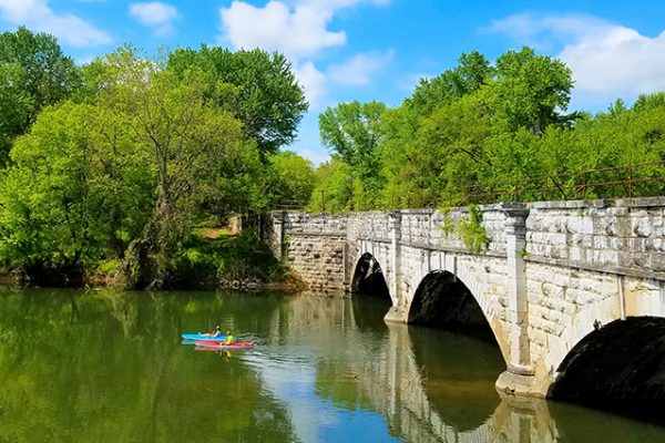
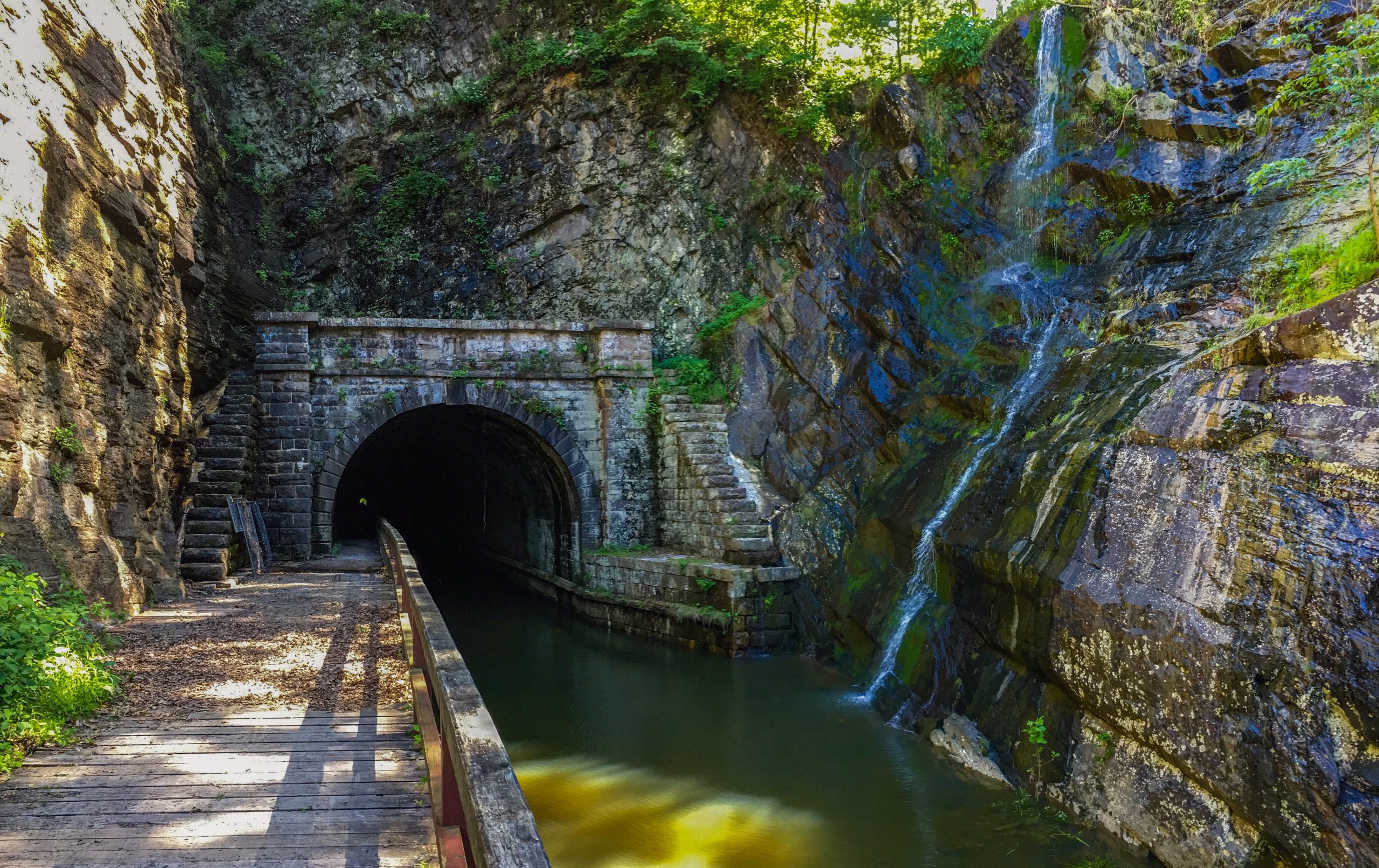
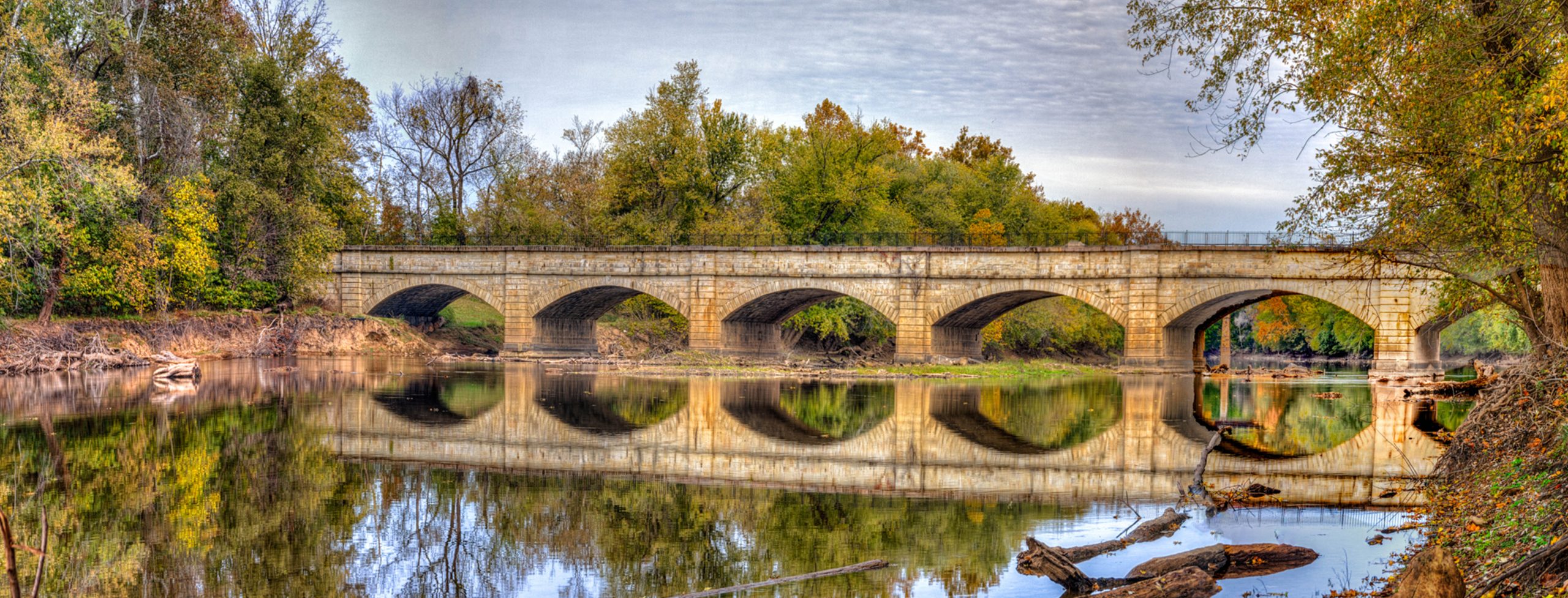
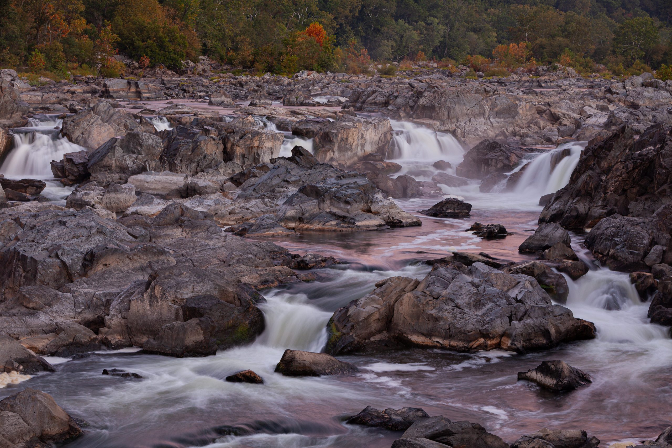
Patricia: An impossible question. Great Falls and the Potomac Gorge for their grandeur. Monocacy Aqueduct for its beauty. Pennyfield for its froggy chorus. Paw Paw Tunnel for its testimony to the hard labor of those who built the canal. Antietam Aqueduct to Taylors Landing because it’s my “home stretch.”
C&O Canal Trust: What does the canal mean to you?
Patricia: Peace, beauty, adventure, escape from the rat race.
To celebrate the 50th anniversary of the C&O Canal becoming a National Historical Park, we are featuring 50 Canal Stories throughout 2021. Each story will take a look at a person’s relationship with the C&O Canal. Whether an NPS ranger, a volunteer, or a visitor, everyone has a story to tell about the canal! If you want to share your story, submit it to us at the link here, email it to us at [email protected] or post it on your social media feeds with the hashtag #MyCanalStory.
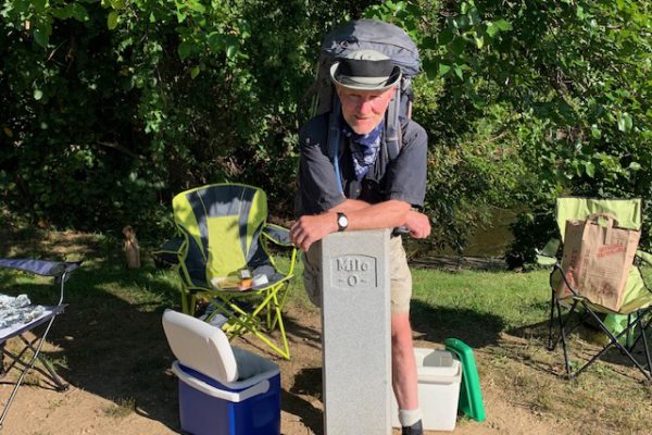
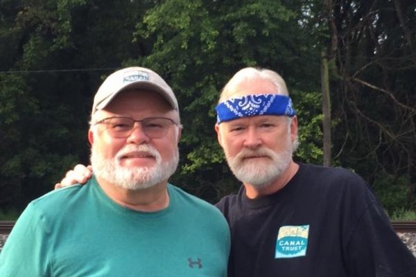
Jon Wolz, former Boy Scout who testified in support of making the C&O Canal a National Park and current volunteer
C&O Canal Trust: What is your relationship with the C&O Canal?
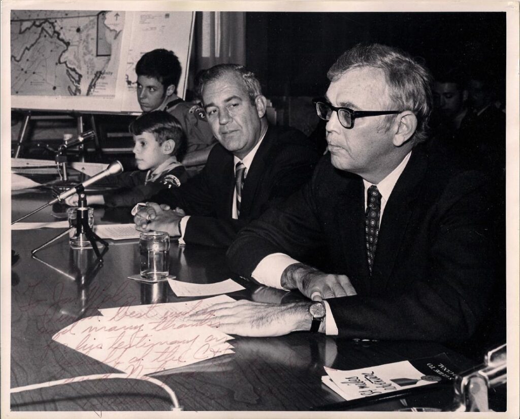
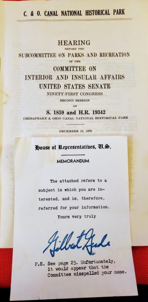
Jon: In 1970, Congressmen Gilbert Gude and J. Glenn Beall of Maryland co-sponsored a bill to make the C&O Canal into a National Historical Park. Congressmen Gude contacted Mr. Charles Stover of Rockville to find a couple of Boy Scouts to testify before the United States Senate Subcommittee on Parks and Recreation of the Committee on Interior and Insular Affairs on their feelings for making the C&O Canal into a National Historical Park. Mr. Stover had recently helped plan and arrange the Montgomery County District Camp O’Ree at Fort Frederick, Maryland next to the canal in October 1970. At that Camp O’Ree, Congressman Gude spoke to the scouts about the need for making the canal into a National Historical Park. Subsequent to that campout, the House of Representatives passed a bill in support of Congressman Gude’s vision for the canal. Charles Stover contacted Jack Alleman, Scoutmaster of Troop 246 of Silver Spring, Maryland. Mr. Stover had met Mr. Alleman at the Camp O’Ree that was attended by Troop 246 and through conversation, learned that several scouts from the troop had hiked the entire length of the C&O Canal. Mr. Alleman selected me for this honor to speak before the Committee. At the time, I was a fifteen-year-old sophomore at Montgomery Blair High School in Silver Spring and an Eagle Scout. In addition to me speaking, Life Scout Mark Stover from Troop 1072 was chosen to speak. Both of us were asked to speak on the meaning of the C&O Canal and why it should be preserved as a National Historical Park.
On December 15, 1970, I rode with my parents, Charles and Shirley Wolz, to the Capitol where we were met by Congressmen Gude and Beall, who escorted us to the hearing room. Senator Charles McC. Mathias of Maryland was the first to testify, followed by Congressman Gude. After Congressmen Gude spoke, he introduced me and Mark to subcommittee chairman Senator Alan Bible of Nevada and the other subcommittee members. I spoke after Congressmen Gude and then Mark spoke. Cub Scout Charles Stover presented to each of the ten men of the subcommittee the C&O Canal Scout patches and medals awarded Scouts for hiking the Canal.
On December 22, 1970, the bill was passed by the Senate, and it was sent to President Nixon on December 23, 1970 for his signature. On January 8, 1971, President Richard M. Nixon signed the Act making the Chesapeake and Ohio Canal a National Historical Park.
After I retired from NASA’s Goddard Space Flight Center in 2014, I became a level walker with the C&O Canal Association (COCA) in 2015. I have two levels that go from White’s Ferry to the Monocacy Aqueduct. Over the last 5 1/2 years, I have been involved with a few C&O Canal Pride Days, painted 36 picnic tables with a friend in 2019, serve on the audit committee for the C&O Canal Association, given talks to the Monocacy Lions Club and the Poolesville Oddfellows about the C&O Canal, led a walk to Latrobe’s Marble Quarry for Poolesville Area Seniors, participated in garlic mustard pulls, helped build three picnic tables for the Park under the guidance of Jim Heins of the COCA, organized and led Potomac River clean-ups at the Monocacy Aqueduct/Lock 27 beginning in 2017, adding the White’s Ferry area in 2019, and recommended a few special projects for the Park to the COCA’s Special Project’s Committee. One project that I am currently involved with is replacing the mule kick boards on the Monocacy Aqueduct that is jointly sponsored by the C&O Canal National Historical Park and the COCA. In 2021, I will be leading walks on behalf of the COCA to Latrobe’s Marble Quarry, White’s Ford Fort, and the Johnson Quarry. Also, in 2021, I hope to lead Potomac River Clean-ups at the Monocacy Aqueduct/Lock 27, Lock 26/Dickerson and White’s Ferry with the support of Boys Scouts from Montgomery County Maryland.
C&O Canal Trust: Do you have a favorite memory of the canal that you can share?
Jon: The many hikes and campouts along the towpath as a Boy Scout. I remember camping at various places from Point of Rocks to Swains Lock. I learned to canoe at Swains Lock and once we canoed from Swains Lock up to Violettes Lock. As a scout, my troop bicycled from Cumberland to Brunswick, a total of 125 miles and camped along the way.
In September 2020, I was invited to walk with an American Legion Post and local Girl Scout troop across White’s Ford and back. We met at Calleva Farm where I spoke of the history of White’s Ford and the immediate area along the canal. We walked down the hillside to the towpath. A few of the girls asked about the “path.” They had never been on the towpath before, so I talked to them about the towpath and the canal.
C&O Canal Trust: What is your favorite spot on the canal? Why?
Jon: I have a few favorite places. From White’s Ferry to the Monocacy Aqueduct, there is a variety of wildlife and birds. I first visited this stretch as a Boy Scout and had many fond memories of this area from my youth. In recent years, I have seen deer, fox, muskrats, a variety of birds, and turtles. I enjoy finding animal tracks along the culvert streams or in the snow. I have discovered there is a lot of history along this stretch of the canal including Latrobe’s marble quarry, White’s Ford Fort, civil war history, a variety of culverts, two locks, two granary ruins and the Monocacy Aqueduct. In the springtime and into the summer, there are a variety of wildflowers. I enjoy keeping an eye on paw paws as they grow throughout the spring and summer.
C&O Canal Trust: What is your favorite thing to do on the canal?
Jon: Walking along the towpath in all four seasons, noticing the changes with the wildlife and to trees/plants. I also look forward to seeing each spring the wildlife, tree leaves, and plants make their reappearance in the park. I enjoy seeing the ice formations flowing down berm side cliffs and the icicles beneath the end arches at the Monocacy Aqueduct. I enjoy finding a quiet place to sit observing my surroundings and listening to the sounds of the park.
C&O Canal Trust: What does the canal mean to you?
Jon: It is always an exciting place for me to walk alone or with friends or family. Each time I visit the canal, I always have a new and unique experience. I greatly appreciate the efforts by the C&O Canal National Historical Park and others to maintain the physical park, tell, and maintain the history of the park. I feel that in my own way I can help maintain the park and tell the history of the park as well so the park will live on for future generations.
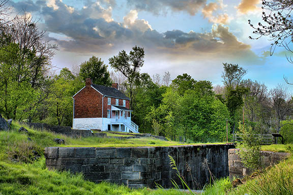
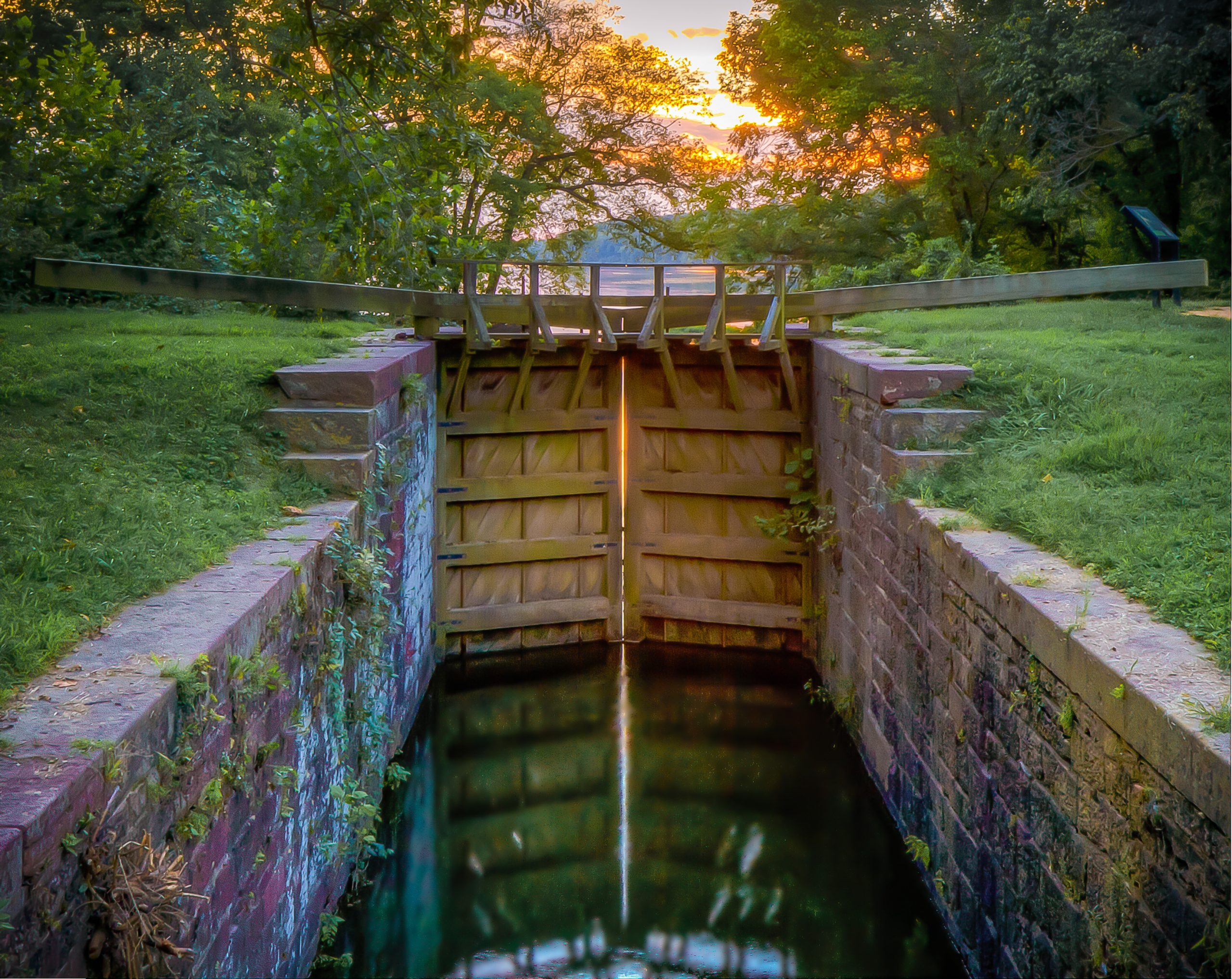
Lock 28 at Point of Rocks by Paul Graunke
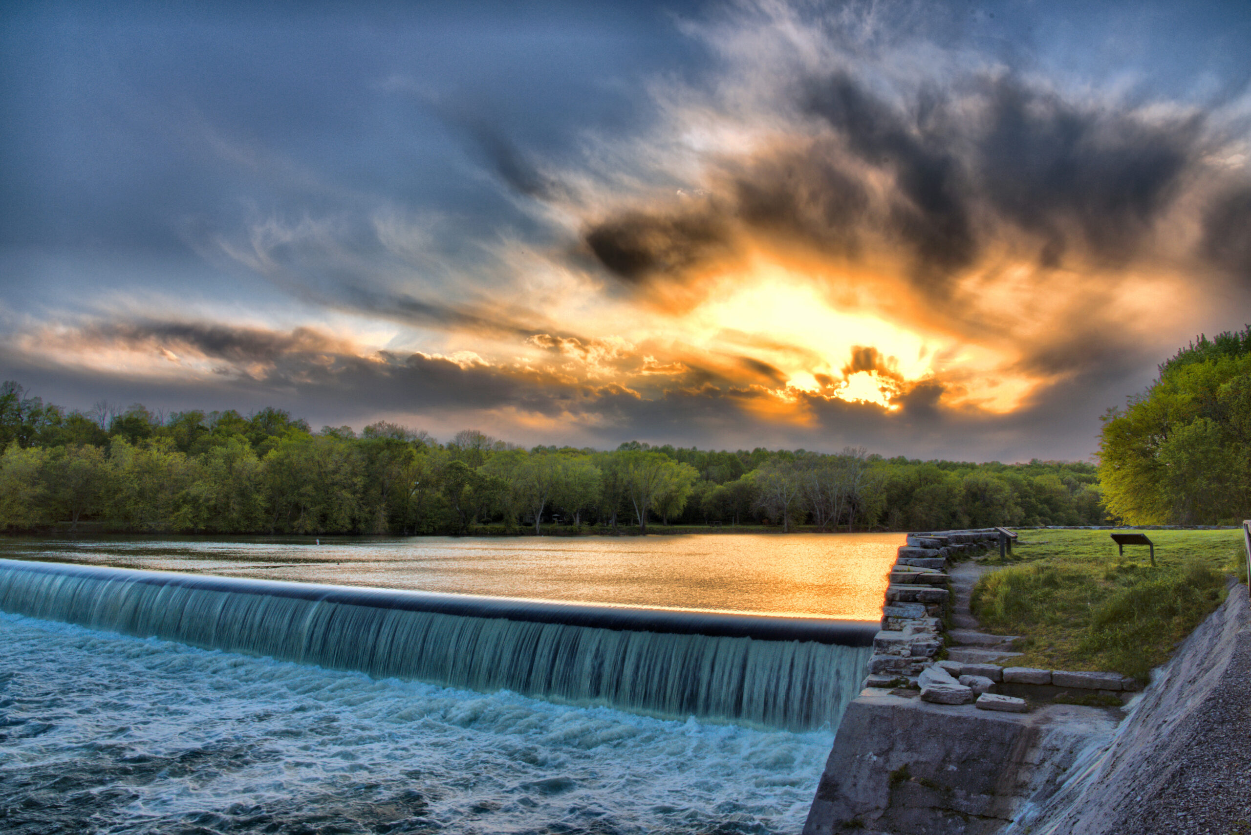
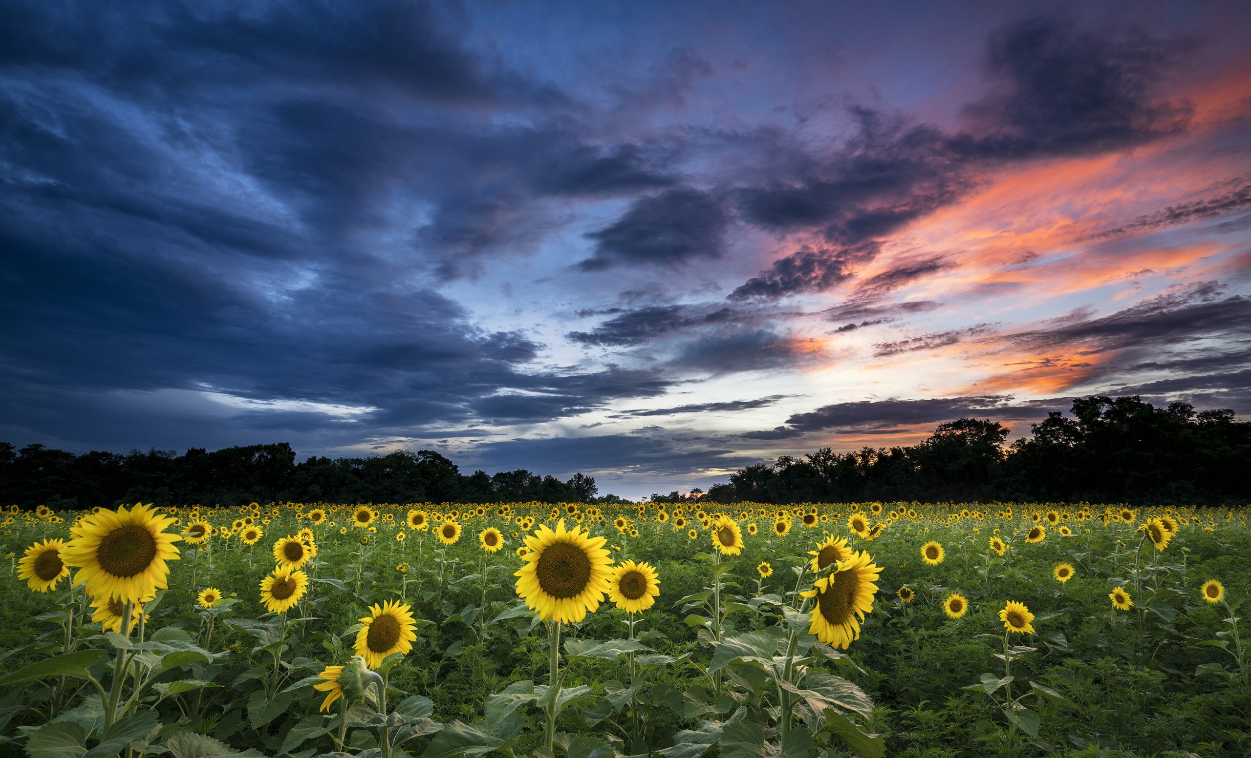
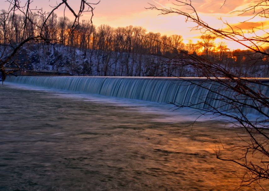
Sky Fire at Dam 5 by Margaret J Clingan
The C&O Canal’s official designation as a historical park is based on the Park’s rich transportation history, but the park offers a multitude of recreational opportunities as well. Visitors can enjoy everything from hiking to cycling, climbing, paddling, fishing, and more. There’s no shortage of things to see and do at the park, and you’ll enjoy nature and beautiful scenic landscapes along the way. Always check the Park’s website before heading out – some trails and locations close periodically. (https://www.nps.gov/choh/planyourvisit/conditions.htm)
You can also copy this itinerary into our C&O Canal Itinerary Builder here.
Jump to:
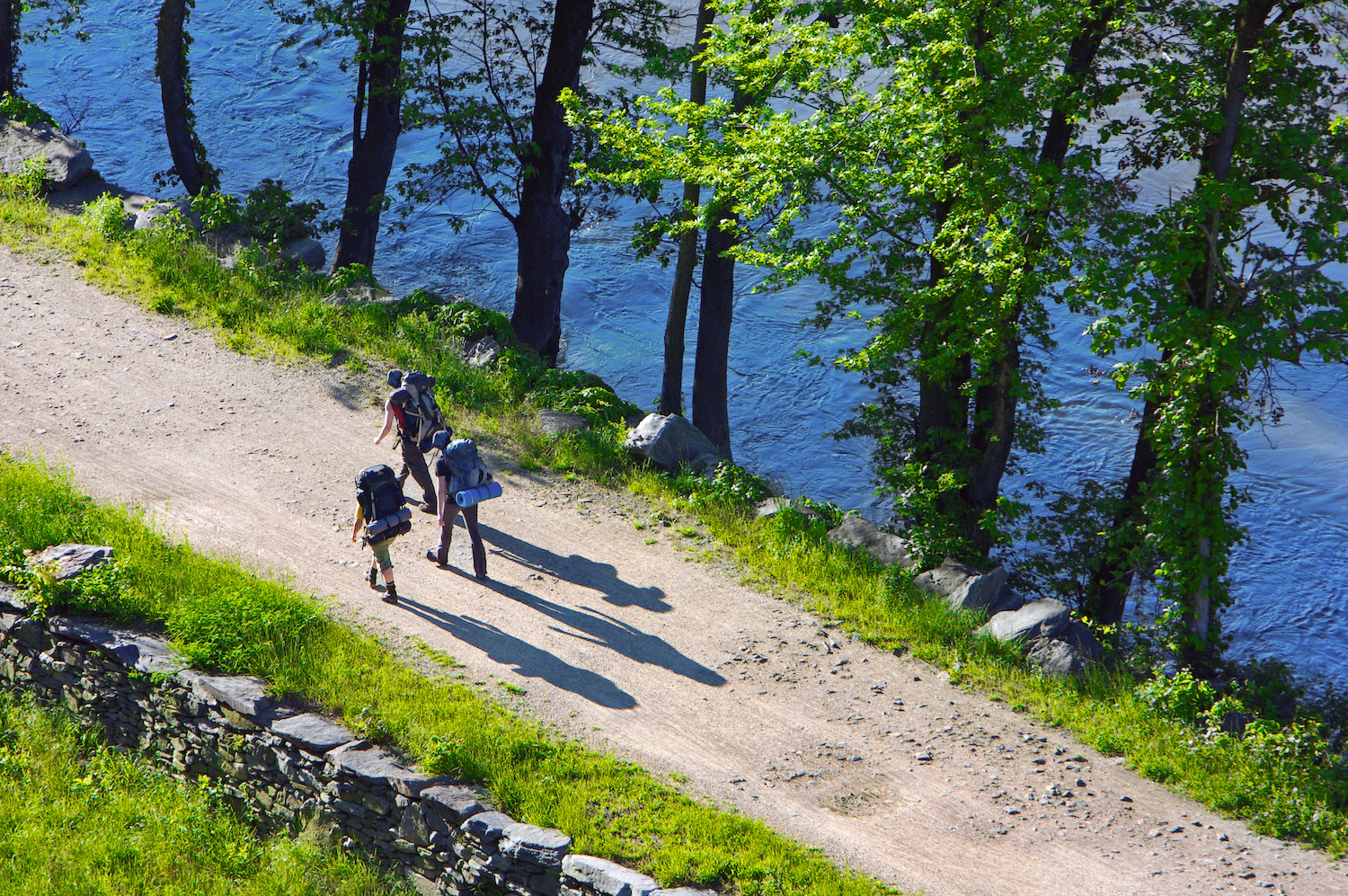
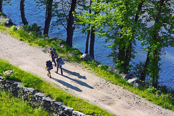
‘Towpath Hikers East of Harpers Ferry Near Milepost 60’ by Jim Kirby
Hiking
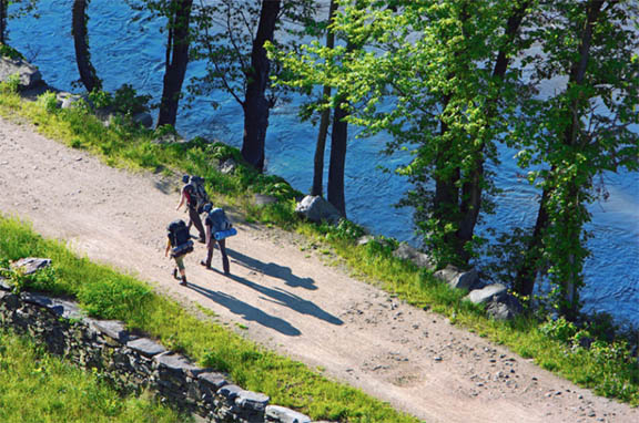
The C&O Canal National Historical Park has hiking opportunities for hikers of all skill levels, ranging from hiking on the flat, level terrain of the towpath to rock scrambling on the Billy Goat A trail, by far the most challenging of all the Park’s trails. In addition to 184.5 miles of flat towpath, there are 14 miles of trails in the Great Falls area, the Paw Paw Tunnel Trail, plus a number of trails that are adjacent to the park. Hikers should always bring water, wear proper footwear, and be prepared for changing weather conditions. Trail maps are available at visitor centers and on the Park’s website.
East: DC to Brunswick
Mile Marker 9.9-10.9
Billy Goat Trail C
Billy Goat Trail C is the easiest of the three Billy Goat Trails. The 1.7 mile loop has both an East Trailhead at mile marker 11.2 and a West Trailhead at mile marker 12.3. The trail offers outstanding views of the Potomac River. It features beautiful wildflowers in the spring and even has a small waterfall.
Mile Marker 11.3-12.3
Billy Goat Trail B
Considered to be moderately difficult, Billy Goat Trail B includes some rock scrambles but is not as challenging as Billy Goat Trail A. It passes through a floodplain forest and along the Potomac River, offering beautiful views and oftentimes bird sightings. The trail is 1.4 miles long and can be accessed from the towpath near Anglers or Carderock.
Mile Marker 12.8-13.8
Billy Goat Trail A
Billy Goat Trail A is the most demanding of the three Billy Goat trails at Great Falls with plenty of rock scrambling. It is not suggested for novice hikers, small children, or dogs. As you climb over angled rocks and boulders, you’ll be rewarded with magnificent views of the Potomac River as it squeezes through Mather Gorge. The trail begins below Great Falls near the Stop Gate and ends on the towpath just upstream from the Park’s Anglers’ access point. The hike is a total of 1.7 miles, but you can make it a 3.7 mile loop by returning to your starting point via the towpath.
Mile Marker 13.6
Gold Mine Trail
The Gold Mine Loop Trail is considered a nature-lover’s delight, despite its close proximity to Washington, D.C. The most direct route to get there is the Gold Mine Spur Trail (0.8 miles), which begins near the Great Falls Tavern Visitor Center. It connects with the Gold Mine Loop that is 1.6 miles long. The loop has many intersections, all of which are clearly marked, leading to a network of other spurs and trails.
Mile Marker 14.4
River Trail
The River Trail, just upstream from Great Falls Tavern, winds along the Potomac, affording views of small rapids, eagles’ nests, and rocky outcroppings in the river. The trail is both shorter and flatter than Billy Goat A, making it an ideal way to take in the beauty of the mighty Potomac without any climbing or rock hopping. The trail is one mile, one way.
Mile Marker 14.7
Ford Mine Trail
The Ford Mine Trail is lollipop-shaped, meaning it is accessed via a straight out-and-back portion that connects to a loop. The trail is 2.7 miles long and easy to moderate in difficulty with one strenuous hill. While you won’t see any evidence of mining on the trail, you will be in the area of the old Ford Mine, a gold mine that operated in the Great Falls area.
Central: Brunswick to Hancock
Mile Marker 58.0-60.3
Appalachian Trail
The Appalachian Trail connects with the C&O Canal towpath at mile marker 58, following the towpath to Harpers Ferry, where it diverts across the footbridge and into the historic town. At Weverton, northbound hikers can hike approximately one mile to the spectacular view at Weverton Cliffs. Southbound hikers heading into Harpers Ferry can see Jefferson Rock and stop at the Appalachian Trail Conservancy before heading across the WV/VA state line in the direction of Keys Gap.
Mile Marker 61.1
Maryland Heights Trail
The view of Harpers Ferry and the confluence of the Potomac and Shenandoah Rivers from Maryland Heights is spectacular. The vantage point is well worth the 1,200-foot-climb to get there. Hikers start from several different locations for this hike depending on parking, but the trailhead is located just off of Harpers Ferry Road near milepost 61 on the C&O Canal. The trail itself is a steeply graded 4.1 miles round trip. The Stone Fort Loop Trail adds elevation and another two miles to your hiking distance.
West: Hancock to Cumberland
Mile Marker 144
Green Ridge State Forest
Green Ridge State Forest is directly adjacent to the C&O Canal in Allegany County. At 47,560 acres, Green Ridge is the largest contiguous block of public land in Maryland – offering 50 miles of hiking trails and 200 miles of both dirt and gravel roads through the forest. Across the Canal at Lock 58, a side trail leads to the extensive networks of trails at Green Ridge State Forest. After 21 miles, the trails rejoin with the towpath at Lock 67.
Mile Marker 154.8
Tunnel Hill Trail
The Tunnel Hill Trail is an alternative to walking a half mile through the Paw Paw Tunnel. The two mile trail begins from the downstream side of the tunnel with a series of moderate to difficult switchbacks, before leveling out the winding back down to the Canal level. The trail offers a walk through history and outstanding views of the Potomac River and tunnel gorge.
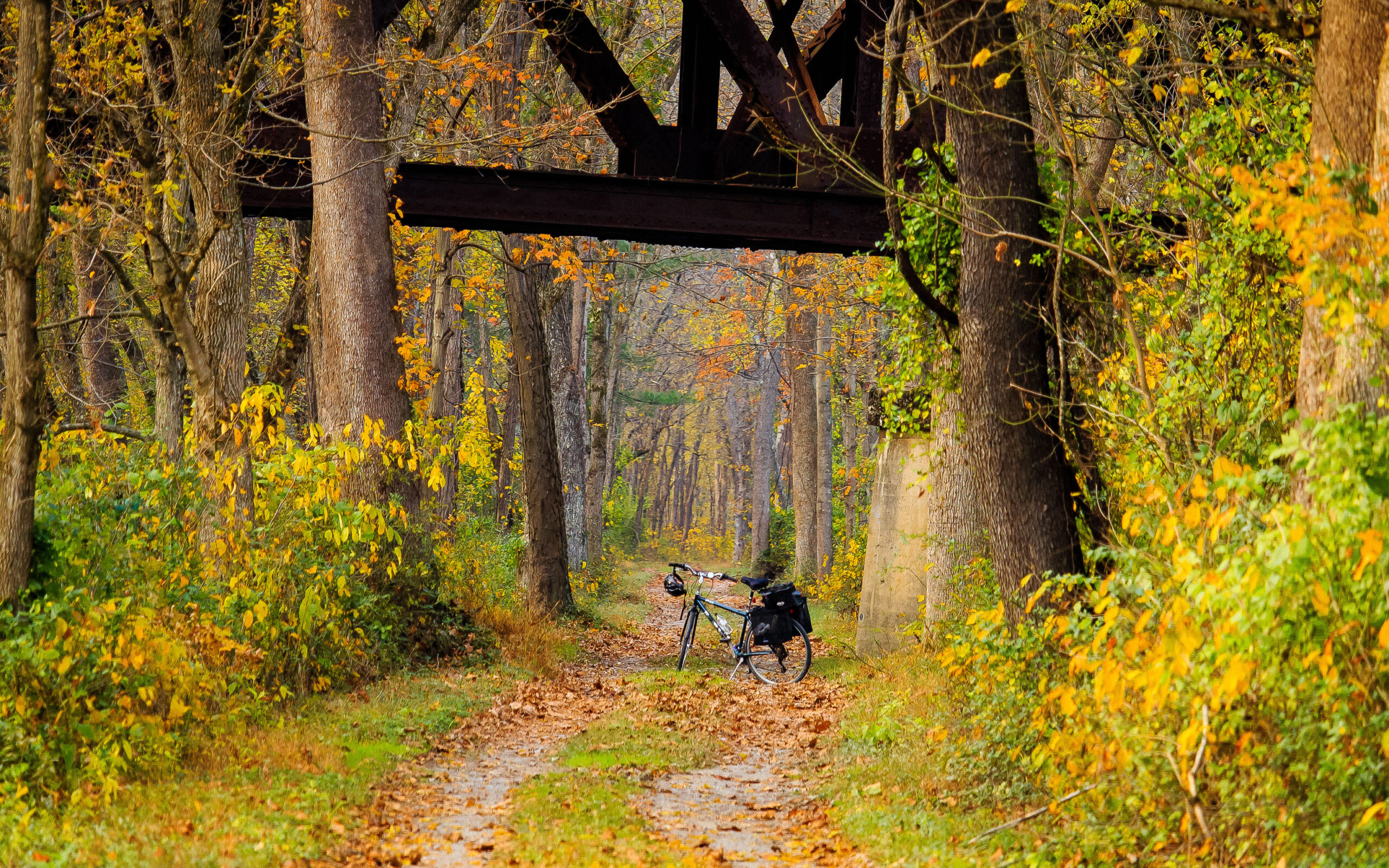
Under the Western Maryland RR Trestle by Paul Graunke
Cycling
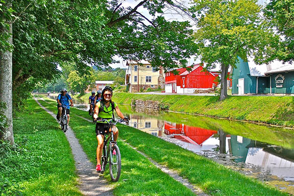
The C&O Canal towpath is a bicyclist’s dream, perfect for day trips or bikepacking, with hiker/biker campgrounds conveniently spaced throughout the Park. There are also a number of trails for cycling that connect to the C&O Canal National Historical Park.
C&O Canal Towpath
The C&O Canal has 184.5 miles of towpath. The gravel path is mostly level and perfect for cyclists of all ages and abilities. Bicyclists are expected to ride single file, stay on the right except when passing, yield the right of way to all pedestrians and horses, and walk bikes across aqueducts. Bells and helmets are recommended for all cyclists, and helmets are required for children.
East: DC to Brunswick
Mile Marker 1.5-3.1
Capital Crescent Trail
The Capital Crescent Trail connects Georgetown with Silver Spring, MD. Combined with the Rock Creek Trail, it forms a 22 mile loop. Built on the abandoned rail bed of the 11 mile Georgetown Branch of the B&O Railroad, it closely parallels the canal for 1.7 miles before taking a right turn toward Bethesda.
Central: Brunswick to Hancock / West: Hancock to Cumberland
Mile Marker 114.4-136.2
Western Maryland Rail Trail: East Trailhead | West Trailhead
The Western Maryland Rail Trail is approximately 28 miles long and parallels the C&O Canal for its entire length, from Big Pool to Little Orleans. The easy grade and paved trail make it easy to travel. It can be accessed from a variety of points along the canal including Big Pool, Hancock, Pearre and Little Orleans.
Mile Marker 184.5
Great Allegheny Passage
The Great Allegheny Passage connects to the C&O Canal in Cumberland, extending 150 miles to Pittsburgh. The trail takes users over valleys, around mountains and alongside the Casselman, Youghiogheny, and Monongaleha Rivers on a nearly level path. Highlights include the Cumberland Narrows, the Eastern Continental Divide, the Laurel Highlands, Ohiopyle State Park, and Point State Park.
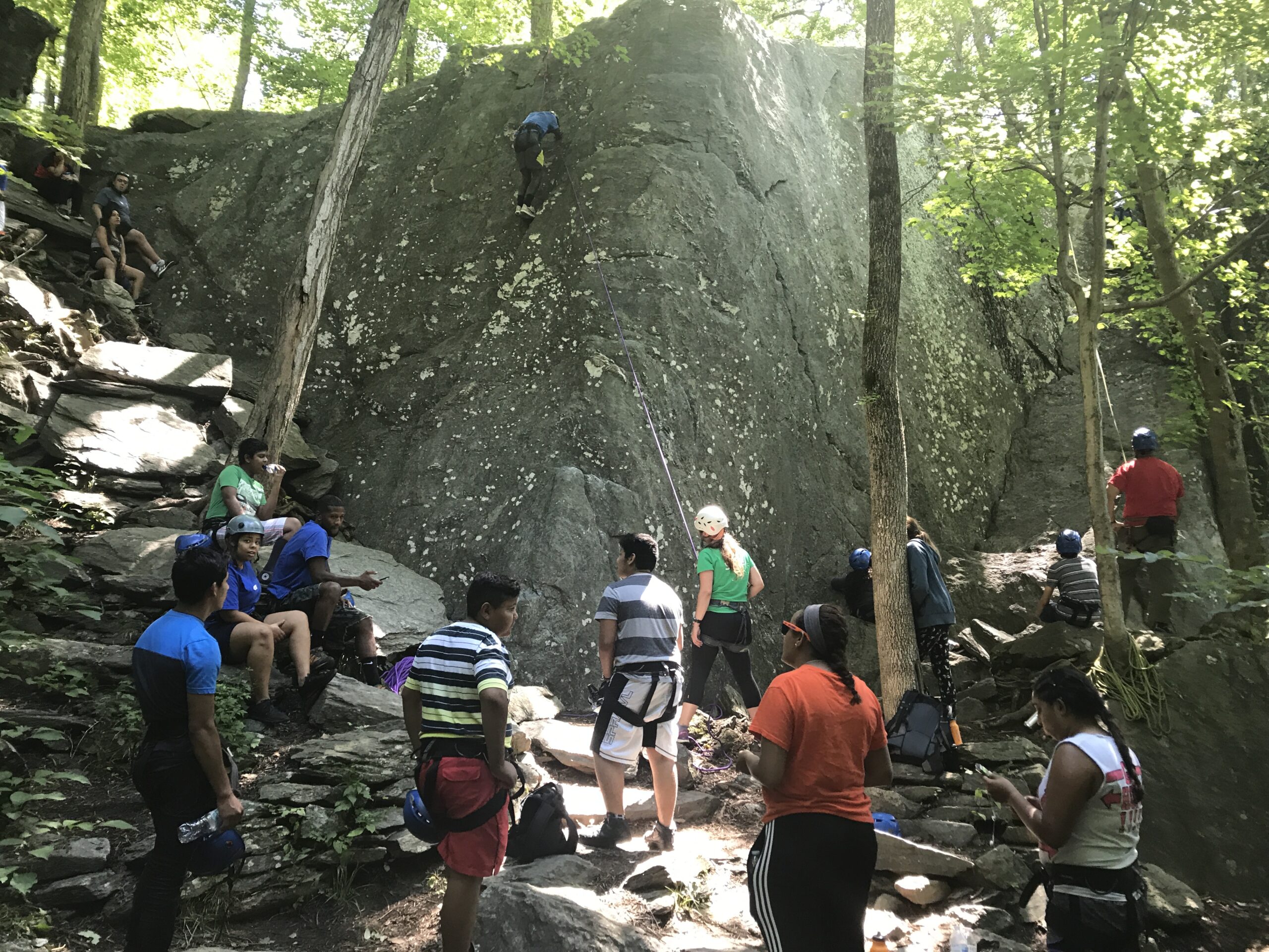
Rock Climbing by Trust Staff
Rock Climbing/Rock Scrambling
Rock climbing is allowed within selected areas of the park. Climbing outside of those areas is dangerous and has resulted in visitor injuries. Rock climbers should use proper equipment when climbing and stay within their abilities. Rock scrambling is also allowed in selected areas of the park. Hikers should stay on the trail at all times to avoid serious injuries, dress appropriately and stay hydrated.
East: DC to Brunswick
Mile Marker 10.5
Carderock Recreational Area
Carderock Recreation Area, located adjacent to the Clara Barton Parkway is the most popular rock climbing area in the park, with cliffs up to 80 feet high. Carderock has routes for climbers of all skill levels, including beginners. It’s a popular location for rock climbing classes.
Mile Marker 11.3-12.3
Billy Goat Trail B
Considered to be moderately difficult, Billy Goat Trail B includes some rock scrambles but is not as challenging as Billy Goat Trail A. It passes through a floodplain forest and along the Potomac River, offering beautiful views and oftentimes bird sightings. The trail is 1.4 miles long and can be accessed from the towpath near Anglers or Carderock.
Mile Marker 12.8-13.8
Billy Goat Trail A
Billy Goat Trail A is the most demanding of the three Billy Goat trails at Great Falls with plenty of rock scrambling. It is not suggested for novice hikers, small children or dogs. As you climb over angled rocks and boulders, you’ll be rewarded with magnificent views of the Potomac River as it squeezes through Mather Gorge. The trail begins below Great Falls near the Stop Gate and ends on the towpath just upstream from the park’s Anglers’ access point. The hike is a total of 1.7 miles but you can make it a 3.7 mile loop by returning to your starting point via the towpath.
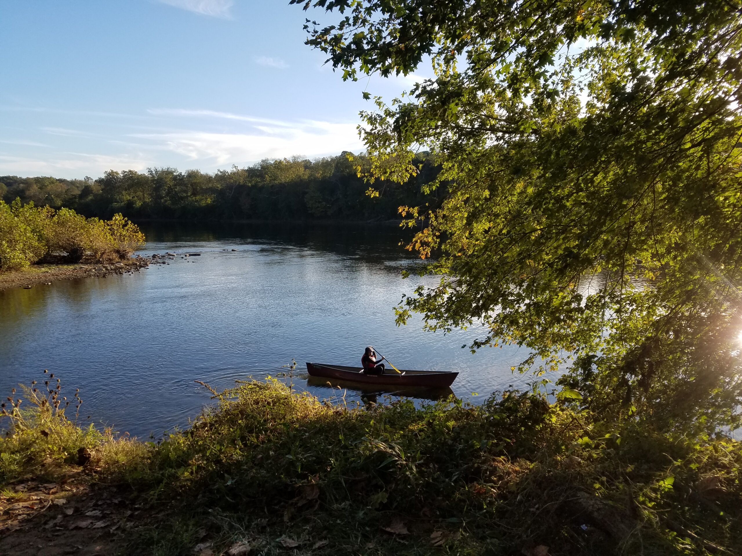
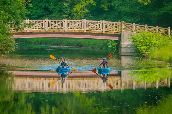
Paddling at Antietam Creek by Nora Slick
Paddling
Non-motorized boats are allowed in several re-watered sections of the C&O Canal. Boats must be carried around lift locks. Personal floatation devices should be used as required by the state of Maryland. The re-watered sections are:
Mile 0 to 22 Georgetown to Violettes Lock
Mile 99.3 to 99.8 Williamsport to Lock 44
Mile 112 to 113 Big Pool
Mile 120 to 121 Little Pool
Mile 124.1 to 124.7 Hancock
Mile 162 to 167 Oldtown to Town Creek
East: DC to Brunswick
Mile Marker 0.0
Thompson Boat Center
With easy access to the Potomac River, Thompson Boat Center offers classes and rentals for everyone from the first timer to the seasoned water adventurer. They can get you out on the water to kayak, canoe, row, or paddle. Thompson Boat Center is an authorized concessioner of the National Park Service.
Mile Marker 3.1
Fletcher’s Boathouse
Fletcher’s Boathouse is located close to the Potomac River and the C&O Canal. They offer guided SUP and canoe tours as well as boat rentals for paddling, rowboating, canoeing, and kayaking. Fletcher’s Boathouse is an authorized concessioner of the National Park Service.
Mile Marker 5.6
Kayak Run
There are 40 to 50 training gates at Kayak Run in Class I-II difficulty levels at normal river flow. Some of the nation’s most accomplished kayakers have spent hours perfecting their craft on Potomac River whitewater training runs. One training site is here on the feeder canal, originally built to allow the Potomac River to feed into the C&O Canal as it made its way into Georgetown.
Mile Marker 14.3
Great Falls
Paddling at Great Falls is extremely dangerous and best suited for expert level kayakers. Those in canoes should not attempt to paddle in this area. Rapids at Great Falls are classified as Class 5 and 6.
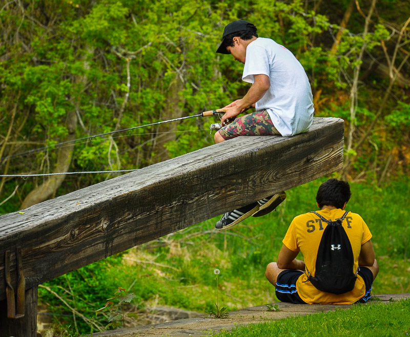
Kids Fishing by Mike Mitchell
Fishing
The canal and the Potomac River have many fishing spots for anglers. The upper Potomac is considered one of Maryland’s most popular freshwater fishing destinations. Forming Maryland’s southern boundary, the upper Potomac offers fishermen more than 160 miles of warm water fishing opportunities for smallmouth bass, walleye, muskie and channel catfish.
East: DC to Brunswick
Mile Marker 19.6
Pennyfield
Pennyfield Lock was a favorite fishing spot of President Grover Cleveland’s and remains a popular spot for anglers today. Northern snakehead fish can often be found here.
Central: Brunswick to Hancock / West: Hancock to Cumberland
Mile Marker 71.7
Boteler’s Mill/Potomac Mill
Boteler’s Mill, also known as Potomac Mill, is on the shore of the Potomac River in eastern Jefferson County, West Virginia, half a mile below Shepherdstown. The mill is a popular fishing area, and the water is usually shallow enough to allow for wading to take a closer look at the mill.
Mile Marker 84.6
Dam 4
Dam 4 is a scenic spot on the canal with a beautiful view of its roaring waters. Those turbulent waters below the dam are popular with anglers. It’s a well-known spot for good walleye fishing and catfish.
Mile Marker 99.6
Cushwa Basin
The re-watered section of the Canal, from Cushwa Basin to just below Lockhouse 44, is a popular spot for anglers of all ages and abilities. From bluegills to bass to carp and even some catfish, it’s a great place to teach first timers how to cast.
Mile Marker 112.1-113.8
Big Pool
Big Pool is a 1.5 mile long natural depression that was filled with water during C&O Canal construction. Located within Fort Frederick State Park, it’s a popular fishing and boating site with a boat ramp. It is primarily a warm water fishery with species like largemouth bass, catfish, carp, bluegill and more.
West: Hancock to Cumberland
Mile Marker 173.3
Spring Gap
Spring Gap to Hancock is one of the best fishing spots on the Potomac River and provides a wonderful place to relax in a peaceful setting. The boat ramp at Spring Gap is the westernmost boat ramp in the park.
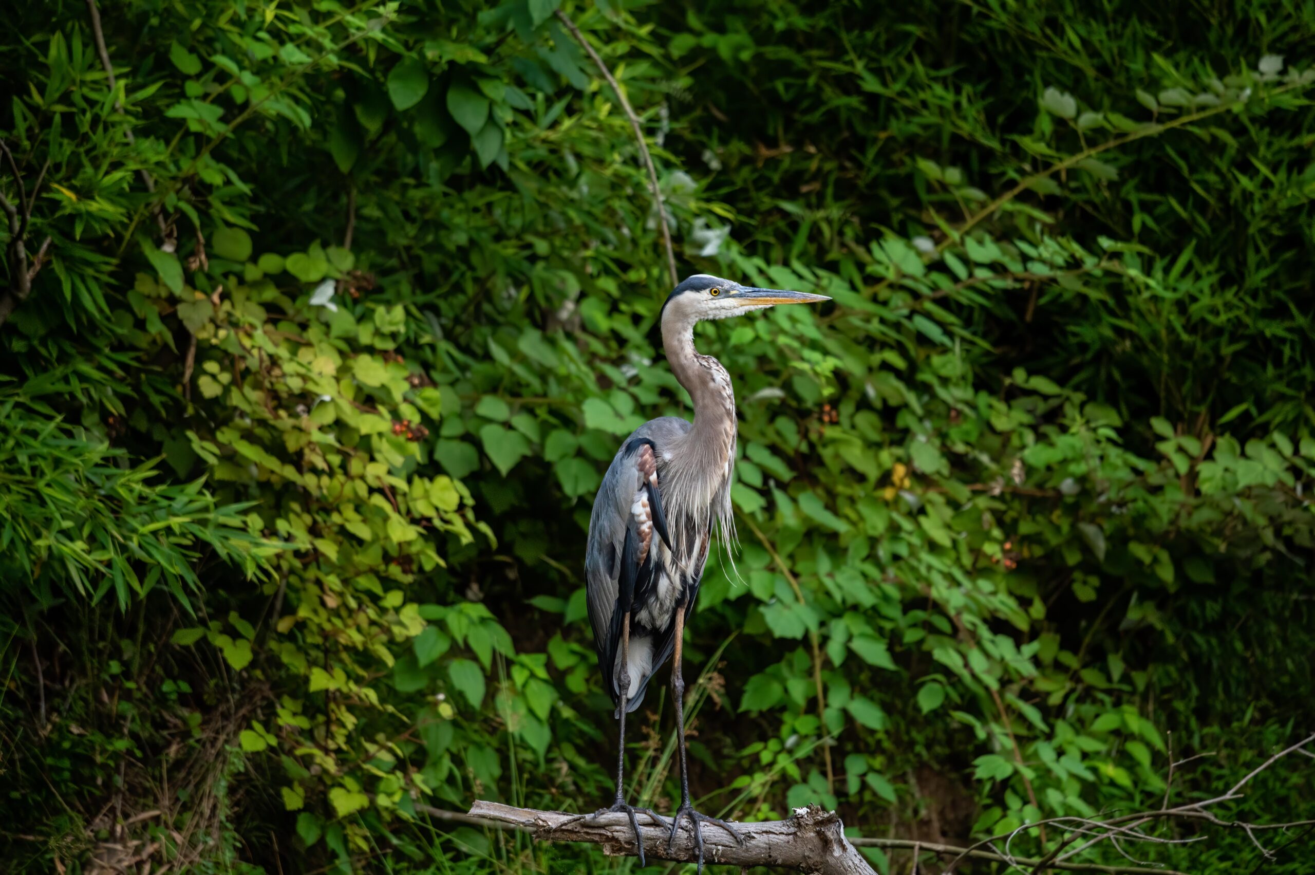
Blue Heron Near Mile Marker 16 by Indraneel Samanta
Private Outfitters
Thompson Boat Center
Washington, DC
-Sculling, kayaking, paddleboarding, canoeing, bicycling
-Rentals, classes, group events and tours
Fletcher’s Boathouse
Washington, DC
-Kayaking, paddleboarding, canoeing, rowboating, bicycling
-Rentals, classes, group events and nature tours
River & Trail Outfitters
Knoxville, MD
-Tubing, kayaking, canoeing, bicycling, etc.
-Guided adventures, rentals and sales
River Riders
Harpers Ferry, WV
-Tubing, kayaking, canoeing, paddleboarding, etc.
-Guided adventures, rentals and sales
Shepherdstown Pedal & Paddle
Shepherdstown, WV
-Kayaking, canoeing and bicycling
-Rentals, sales and service, shuttle service and group rides
C&O Bicycle
Hancock, MD
-Bicycle rentals, sales and service
Get Out & Play! Outfitters
Cumberland, MD
-Bicycle shuttle service
-Canoe and kayak rentals
Patricia on the towpath with Sam and Chico
Forty years ago when I first visited the C&O Canal, I was 22 and the national park was just nine years old. After decades of flooding and neglect, much of the infrastructure we now take for granted was simply not there. Footbridges to the Great Falls Overlook had been taken out by Hurricane Agnes in 1972. There was no boardwalk at Widewater. Historic aqueducts were crumbling and much of the towpath was in very poor condition. Read More
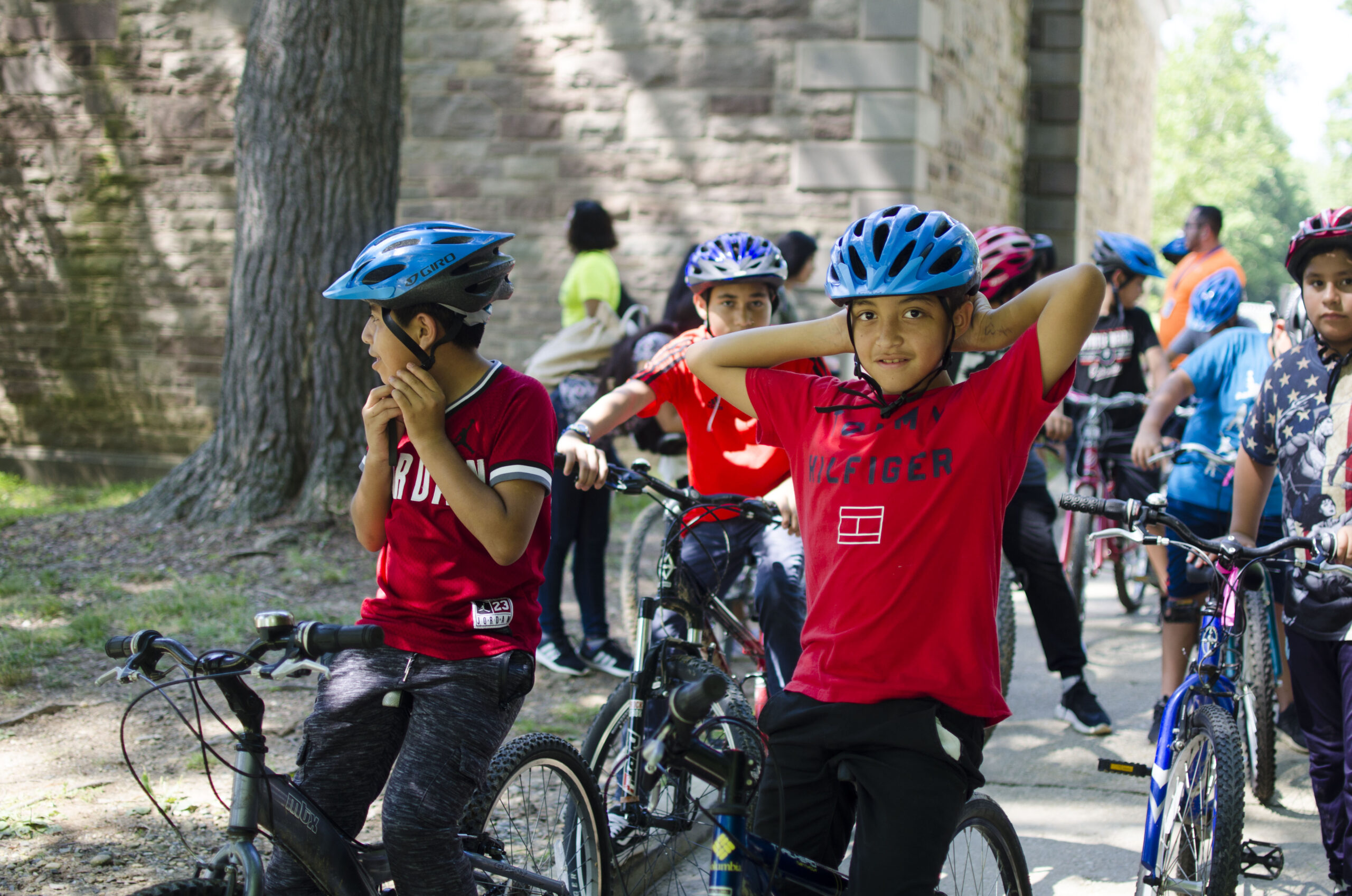
Latino Conservation Week 2019 by Trust Staff
To celebrate the 50th anniversary of the C&O Canal becoming a National Historical Park, we are featuring 50 Canal Stories throughout 2021. Each story will take a look at a person’s relationship with the C&O Canal. Whether an NPS ranger, a volunteer, or a visitor, everyone has a story to tell about the canal! If you want to share your story, submit it to us at the link here, email it to us at [email protected] or post it on your social media feeds with the hashtag #MyCanalStory.
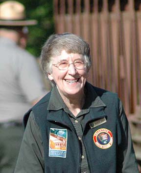
Karen Gray, long-time C&O Canal volunteer historian
Karen: I especially love Dam 5 and Little Slackwater up to and including Locks 45 and 46. I consider the Dam 5 and Inlet #5 location the most dangerous for the boat people on the canal and the engineering uniquely interesting. But it is also now one of the most dramatic, unique, and beautiful places along the 184.5 miles–to a great extent because of one’s proximity to the beautiful, historic Upper Potomac River.
Karen: It is very hard for me to put into words what the canal means to me. Trying to do so would require speaking about the connection to past people and events; the many friendships among the people associated with the NPS and the park that have enriched my life; the times that walks on the towpath have intensified my sense of life and the life and land I am a part of; and finally the times that the towpath has been my refuge when troubled or in sorrow and in need of interior healing which it always provided. What does it mean to me more briefly? A home–a place for belonging, unfailing pleasure, and unending personal enrichment.
The resurfacing project that has so far as smoothed out 42 miles of the C&O Canal’s towpath between Edwards Ferry and Shepherdstown will receive another infusion of cash with a $1.147 million grant from the State of Maryland’s Transportation Alternatives Program (TAP). This is the fourth grant the C&O Canal National Historical Park has received in support of the “Towpath Rehabilitation: A Safe Towpath” project aimed at improving more than 80 miles of the 184.5 mile-long towpath.
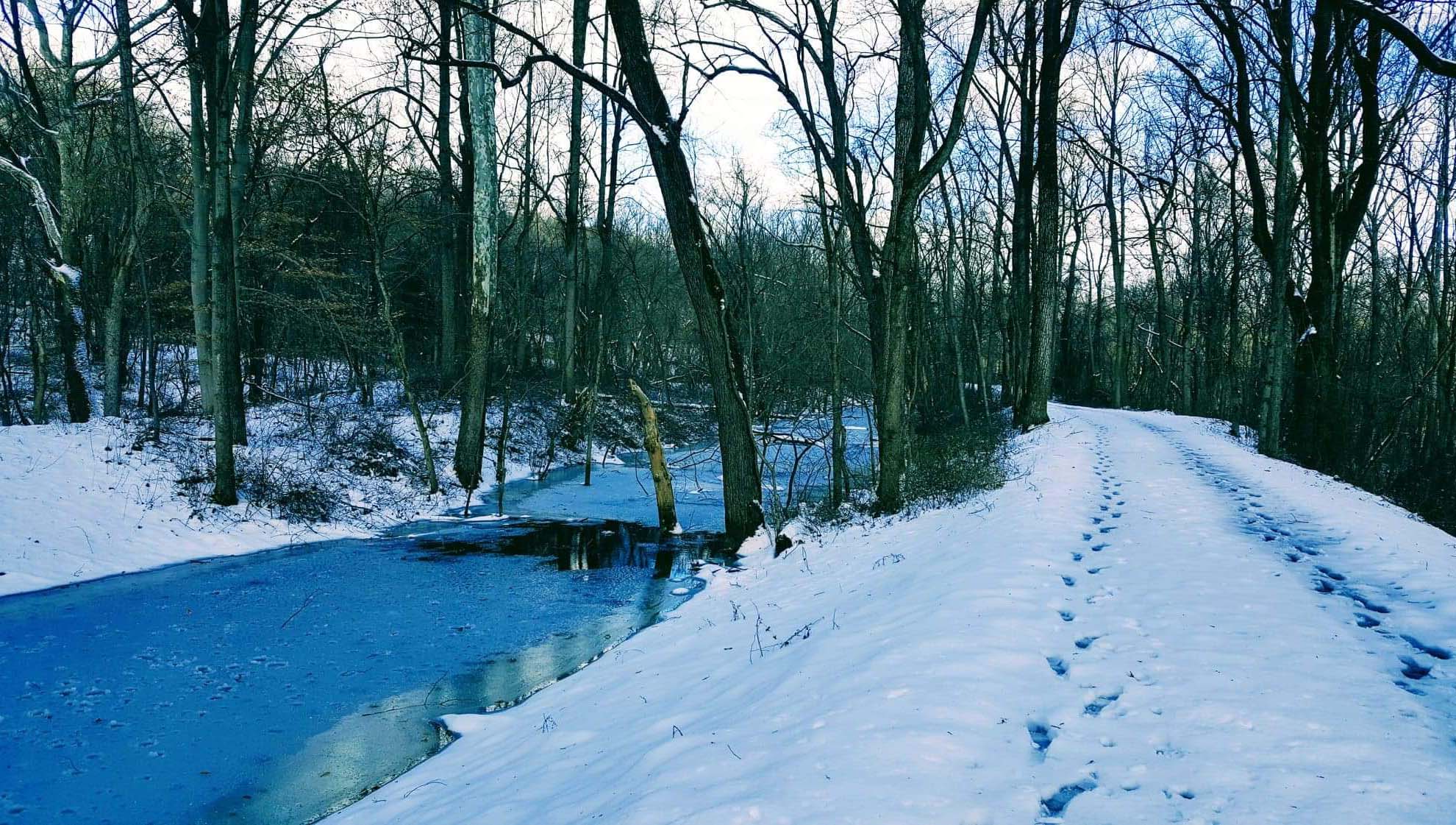
Snowy Prints on the Towpath at Big Pool Mile Marker 111 by Lesley Pearl
Celebrate with us and share what you are also most grateful for this November!
Spanning 184.5 miles and 20,000 acres, the C&O Canal National Historical Park welcomes nearly 5 million visitors each year. That’s a lot of land for the National Park Service to maintain! As the official nonprofit partner of the Park, the C&O Canal Trust is happy to help out, assisting Park staff in preservation and maintenance projects year-round to keep the C&O Canal clean and beautiful.
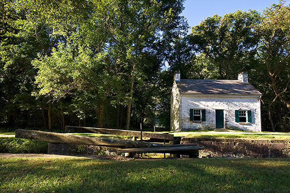
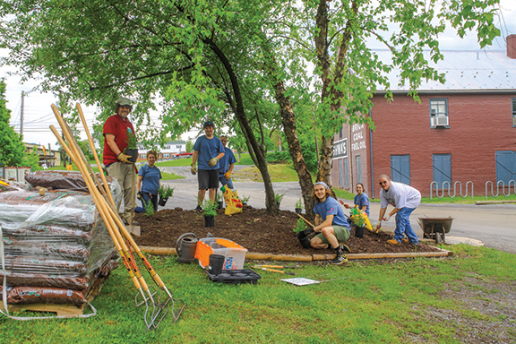
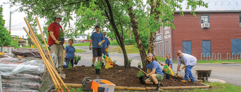
Each spring, community members join together during a series of public Canal Pride clean-up events hosted by the Trust that ready the Park for the busy summer season. Volunteers gather at sites up and down the canal to remove trash, spread mulch, rake leaves, pull invasive species, plant gardens, and paint picnic benches, fire rings, and historic buildings. Their efforts save the National Park Service hundreds of thousands of dollars on labor.
Corporate and community groups can partner with the C&O Canal Trust throughout the year on clean-up projects at a favorite area of the Park. During the COVID-19 pandemic, we are also encouraging families and small groups of friends to hold small Personal Canal Pride Day events focused on cleaning up trash.
You can learn more about volunteering for one of the Trust’s clean-up events or make a donation to support our work in the Park. We thank you for your support!
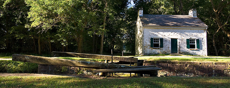
Ever wondered what it was like to live in the past? Stay in a Canal Quarters lockhouse and find out firsthand! You’ll get a much better night’s sleep than your historic counterparts, who had to spring from their beds at all hours of the night as canal boats approached their locks.
Each of the seven lockhouses in the program have been rehabilitated and depict a different time period in the canal’s history. Authentic period furnishings add a quaint vibe, and interpretative materials that teach about the canal enrich your stay. The lockhouses all sleep up to eight people and are surrounded by the beautiful C&O Canal National Historical Park. Spend the day on the trail and your evenings around the campfire, under the stars.
Past guests have celebrated all types of occasions at the lockhouses, from birthdays to anniversaries, and holiday parties. Your group will have the lockhouse to yourself for the duration of your stay, and you can recreate in the surrounding beauty of the great outdoors.
There are three lockhouses with full amenities, including electricity, heat, A/C, running water, and full bathrooms and kitchens (Lockhouses 6, 10, and 21.) Three lockhouses are rustic, without these amenities, but with a portable toilet and water pump nearby. These lockhouses provide guests with a truly authentic historic experience (Lockhouses 22, 25, and 28). Lockhouse 49 has electricity, but no running water.
The C&O Canal Trust, the official nonprofit partner of the C&O Canal National Historical Park, has been awarded the George and Helen Hartzog Award for Outstanding Volunteer Service by a Group in the National Capital Area. Each year, the George and Helen Hartzog Awards honor the exemplary contributions of National Park Service volunteers. Read More
At first glance, it may seem overwhelming to choose where to begin your adventure on the C&O Canal. There are over 80 access points to the canal with ample parking. Begin your day trip adventures on the canal by checking out these suggested points of interest below! Continue reading or view by region: East | Central | West
You can also copy this itinerary into our C&O Canal Itinerary Builder here.
Mile Marker 0.0 – Georgetown
The C&O Canal begins in Georgetown, and there are many ways to access the canal in this area. Canal users can explore Locks 1, 2, 3, and 4, a picturesque series of four locks very close together, separated by boat basins. A bust of Supreme Court Justice William O. Douglas is placed at Lock 3, in honor of’ Douglas, who helped raise awareness of a 1950s plan to turn the canal into a parkway. Tucked along M Street in Georgetown, just east of the towpath, is the Old Stone House. It is the oldest structure on its original foundation in the nation’s capital. The Abner Cloud House is one of the oldest existing structures on the canal. Here, The Colonial Dames of America, Chapter III, offer interpretive programs. Continuing upstream from Georgetown, canal users can see Fletchers Cove and Carderock Recreation Area, which is the Park’s premiere rock climbing area.
Mile Marker 3.2 – Fletchers Cove
A large parking lot off of Canal Road NW, near Fletchers Boathouse and the Abner Cloud House makes for easy access to the Canal at Fletchers Cove. The area is popular for fishing and boating, biking, hiking, and picnicking. You can rent rowboats, kayaks, canoes, and bikes at the concession stand or grab a hot dog and snacks. The slow waters make it an ideal location for fishing and bird watching. The Capital Crescent Trail crosses and parallels the towpath at Fletchers Cove. Built upon the abandoned rail bed of the 11-mile Georgetown Branch of the B&O Railroad, the trail is one of the most popular of more than 700 rails-to-trails projects nationwide. Downstream, canal users will find the Abner Cloud House and Georgetown. Heading upstream, canal users will find Lockhouse 6, part of the Canal Quarters program, the Cabin John Bridge, a National Historic Civil War Landmark, Seven Locks, Lockhouse 10, also part of the Canal Quarters program, and Carderock Recreation Area, the Park’s premiere rock climbing area.
Mile Marker 10.8 – Carderock
Carderock is accessible from the Clara Barton Parkway with lots of parking. It’s a great location for those who enjoy outdoor recreation and picnicking. The western end of Carderock is the Park’s premiere rock climbing area, with routes ranging from easy to extremely technical. Billy Goat Trail C surrounds the entire area and offers a beautiful 1.6-mile hike along the Potomac River. Canal users traveling downstream will find Lockhouse 10, part of the Canal Quarters program where guests can spend the night living as the lock keepers once did, Seven Locks, the Cabin John Bridge, a National Historic Civil War Landmark, Lockhouse 6, also part of the Canal Quarters program, Fletchers Cove, the Abner Cloud House, and Georgetown. Upstream, canal users will come to Great Falls, where the historic Great Falls Tavern serves as a visitor center, and Lockhouse 22,
Mile Marker 22.7 – Riley’s Lock and Seneca Aqueduct
Riley’s Lock offers lots of parking for easy access to this section of the C&O Canal. Riley’s Lockhouse is well restored and local Girl Scouts dressed in period clothing provide interpretation and guide visitors here on Saturdays during the spring and fall. This is also the location of an engineering marvel on the canal. Of the canal’s 11 aqueducts and 74 lift locks, this is the only one that was both a lift lock and an aqueduct. Canal users heading downstream will find Lockhouse 22, part of the Canal Quarters program, and Great Falls, where the historic Great Falls Tavern serves as a visitor center. Upstream, canal users will find the remains of Goose Creek River Lock, Edwards Ferry and Lockhouse 25, another lockhouse in the Canal Quarters program.
Mile Marker 35.5 – Whites Ferry
Whites Ferry is the last of 100 ferries that operated on the Potomac River, transporting automobiles, cyclists, and pedestrians across the river from Montgomery County, Md., to Loudoun County, Va. This canal access point offers ample parking for access to the ferry, the canal, the boat ramp, and Whites Ferry Store. Canal users heading downstream will find access to Edwards Ferry, Lock 25 and Lockhouse 25, part of the Canal Quarters program. Canal users heading upstream from Whites Ferry will find the Monocacy Aqueduct, and Nolands Ferry.
Mile Marker 48.2 – Point of Rocks
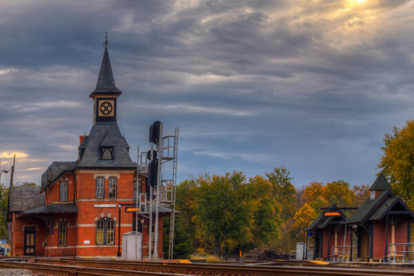
Point of Rocks has been a longtime transportation crossroads, beginning with the Native Americans, then European traders and settlers, until the arrival of the railroad led to rapid growth. During the heyday of the canal, the town was booming with businesses, hotels, restaurants, and more! The canal terminated operations in 1924, leading to the decline of Point of Rocks. The original village is a county park and a parking lot for railroad commuters, however there is a deli, convenience and gas station store, restaurant, library, church, and the picturesque Point of Rocks Train Station. Downstream, canal users can travel to Nolands Ferry, one of the earliest crossings on the Potomac during Native American times, and the Monocacy Aqueduct. Heading upstream, canal users will find Lander, with access to the Catoctin Aqueduct, and Brunswick.
Mile Marker 55.0 – Brunswick
Brunswick was a small community of several hundred people when the C&O Canal reached the area. When the B&O RR established a major railyard there, the town grew dramatically, becoming very much a “company town.” Today Brunswick is on the MARC commuter train line to Washington, D.C. Brunswick’s downtown has restaurants, specialty shops, and antiques stores as well as the C&O Canal Visitor Center and the Brunswick Heritage Museum. Downstream, canal users can visit Lander, with access to the Catoctin Aqueduct, Point of Rocks, and Nolands Ferry, one of the most ancient crossings of the Potomac. Upstream, canal users can access Weverton, Harpers Ferry and Dargan Bend Recreation Area.
Mile Marker 60.7 – Harpers Ferry National Historical Park
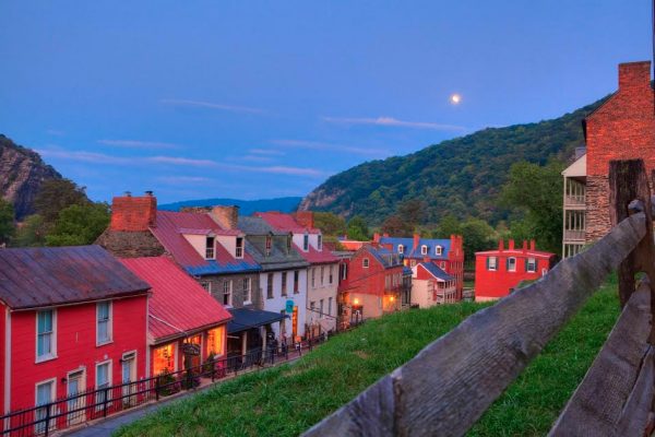
The town of Harpers Ferry is located at the confluence of the Potomac and the Shenandoah Rivers and is rich in history. It was designated a National Monument in 1944, and later a National Historical Park in 1953. Harpers Ferry is an ideal day trip with all the things to see and do at the park, which covers a multitude of interpretive themes from the Industrial Revolution to the Lewis and Clark Expedition to the Civil War and Civil Rights Movement. From Harpers Ferry, canal users can travel downstream on the Appalachian Trail where it uses the towpath for three miles to Weverton, as well as Brunswick, and Lander, with access to the Catoctin Aqueduct. Upstream from Harpers Ferry, canal users can see a dry dock at Lock 35, Dargan Bend Recreation Area, the lime kiln ruins at Antietam Ironworks, and Antietam Aqueduct.
Mile Marker 72.8 – Railroad Bridge/Canal Road
The Railroad Bridge/Canal Road lot provides ample parking and access to some well-known locations along this stretch of canal. The remains of Lock 38, also known as the Shepherdstown River Lock, are located here. It is one of only three river locks on the canal and was used most often by Boteler’s Mill, shipping and receiving cement and coal materials via canal boat. Downstream, canal users will find Antietam Aqueduct, the ruins of Antietam Ironworks, and Dargan Bend Recreation Area . Upstream, canal users can see Ferry Hill Plantation, the Killiansburg Cave and Snyders Landing.
Mile Marker 84.0 – Big Slackwater
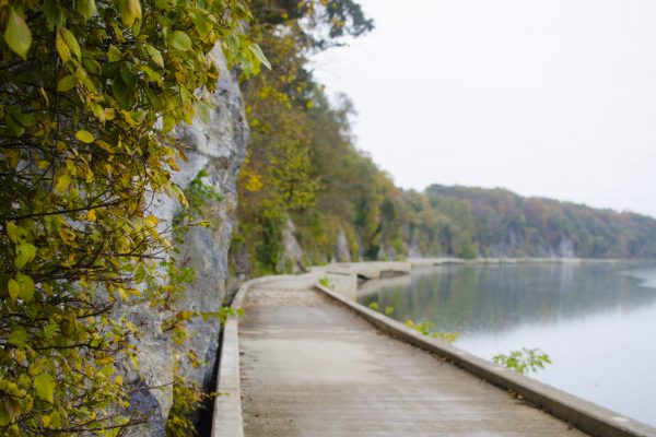
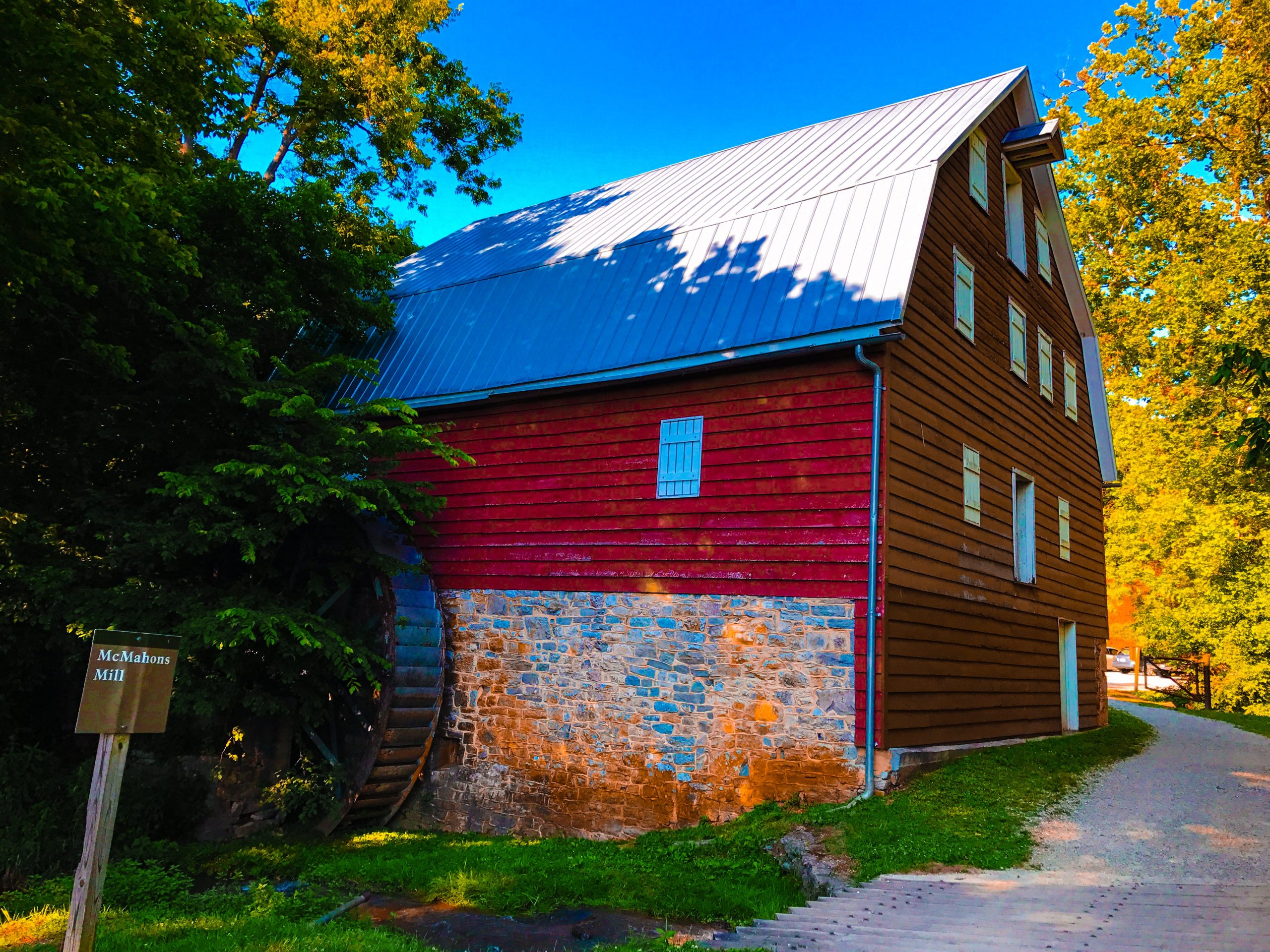
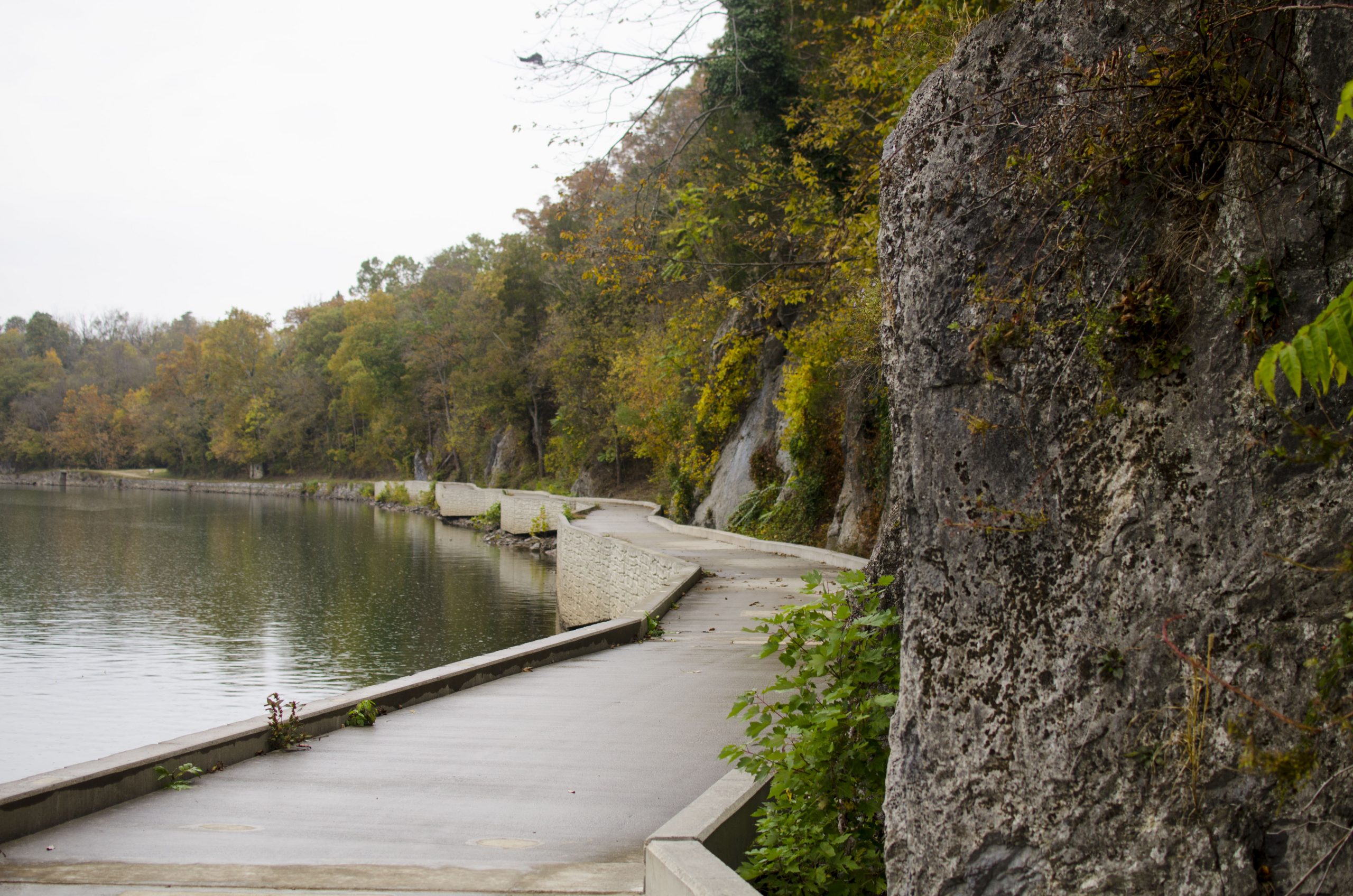
The Big Slackwater section of the C&O Canal is a modern-day engineering marvel. The reconstruction of a 2.7-mile section of towpath here had been closed for more than a decade due to flood damage. It reopened in 2012 and features a suspended, 10-foot-wide concrete walkway, anchored in the stone of the cliff embankment. Downstream, canal users can enjoy the impressive roaring power of Dam 4. There are lots of cave features along this section of the canal including Bergen Cave at Dam 4, Snyders Landing and the Killiansburg Cave, which is where a group of Sharpsburg residents took shelter during the Battle of Antietam. Upstream, canal users can enjoy McMahon’s Mill area, which has more cave features. The towpath then becomes quiet as it leads into the 10-mile stretch with no access points.
Mile Marker 99.8 – Williamsport/Cushwa
Williamsport is a bustling hub of activity on the C&O Canal. It is the only place in North America where visitors can see a lift lock and refurbished lockhouse, a railroad lift bridge, a canal turning basin and a re-watered aqueduct with seasonal boat rides available. Lock 44 is furnished and is open to the public seasonally and canal boat rides are offered from Cushwa Basin over the re-watered aqueduct. Downstream, canal users can enjoy a quiet 10-mile stretch of the canal with no access points. This section follows close to the river and is exceptional for wildlife viewing opportunities and wildflowers in the spring. A historical marker at Falling Waters explains the area’s significance during the Confederate Retreat from Gettysburg in 1863. Upstream, canal users can see Dam 5 and Four Locks, including Lockhouse 49, part of the Canal Quarters program, where guests can spend the night in a lockhouse.
Mile Marker 108.0 – Four Locks
Four Locks (Locks 47, 48, 49, and 50) was a thriving community when the canal was operational. Today, several of the historic buildings remain, including Lockhouse 49, also a part of the Canal Quarters program. The area is now popular for recreation, from fishing and boating to bicycling and hiking. Downstream, canal users can access Dam 5 and Williamsport/Cushwa Basin. Williamsport is the only place in North America where visitors can see a lift lock and refurbished lockhouse, a railroad lift bridge, a canal turning basin and a re-watered aqueduct with seasonal boat rides available. Upstream, canal users can enjoy McCoys Ferry, with its Civil War history and beautiful views, as well as Fort Frederick State Park, which offers both historical interpretation and opportunities to enjoy nature, Big Pool, a popular fishing and boating site, and Licking Creek Aqueduct.
Mile Marker 124.1 – Bowles House/Hancock Visitor Center Parking
The Bowles House Visitor Center, at mile marker 123, is open five days a week from Memorial Day through October. Visitors can enjoy sitting on the front porch and, on occasion, may hear a ranger or local resident playing banjo or acoustic guitar. Downstream, canal users can view Licking Creek Aqueduct, Big Pool, which is a popular fishing and boating site, and Fort Frederick State Park, which borders the canal. Upstream, canal users can enjoy Little Tonoloway Recreation Area, with beautiful picnic views of the Potomac River, and Tonoloway Creek Aqueduct
Mile Marker 136.0 – Western MD Rail Trail
The Western Maryland Rail Trail (WMRT) runs parallel to the C&O Canal from Big Pool to Little Orleans. This parking lot at Pearre allows for easy access to the WMRT, and canal users can connect to the towpath less than a mile away at Lock 56. Downstream from here, many locals bike what they call the “bow-tie,” which utilizes both the WMRT and the towpath for 40+ miles round-trip. Bikers can experience the history and terrain of both the towpath and the restored railroad bed. Upstream, canoe rentals are available at Little Orleans Grocery Store/Bill’s Place by the Fifteenmile Creek Drive-In Campground. This is the canoe and float take-out point for the 21-mile trip through the Paw Paw Bends. The Fifteenmile Creek Aqueduct is also accessible from the campground. The rail trail now continues westward to Little Orleans, which includes the Indigo Tunnel Bypass, which utilizes ramps to the canal.
Mile Marker 184.5 – Cumberland
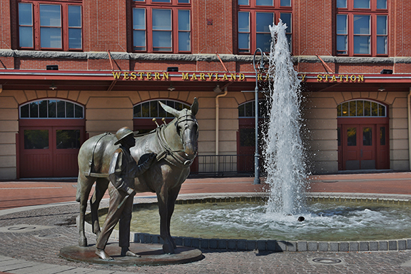
This terminus of the C&O Canal offers easy access to the C&O Canal Visitors Museum, housed in the historic 1913 Western Maryland Railway Station. The museum offers interactive exhibits and educational displays. Cumberland is where the terminus meets up with the B&O Railroad and the National Road. It’s also where the canal connected to the Great Allegheny Passage (GAP) trail which continues on to Pittsburgh. Downstream from Cumberland you can access the smallest and the last of the aqueducts along the canal, Evitts Creek Aqueduct, and the last lift lock on the canal, Lock 75. There are wonderful bird watching opportunities on this section of the canal, particularly at mile marker 176.87 where a marsh that was formerly a basin attracts marsh birds and other wildlife. Similar wildlife can be viewed at mile marker 180.35 where the berm is a marsh.
Written by: Charissa Hipp
Share This Page
The western section of the C&O Canal National Historical Park begins in Hancock (mile marker 124.0) and travels through the mountains of Maryland in Washington and Allegany Counties to Cumberland (mile marker 184.5). This section of the park is very rural, with beautiful vistas and woody retreats. In Cumberland, the C&O Canal ends, but joins the Great Allegheny Passage, which travels to Pittsburgh, PA. View a video about the western end of the C&O Canal, part of the C&O Canal Scenic Byway, here.
You can also copy this itinerary into our C&O Canal Itinerary Builder here.
Walk or Ride the Towpath
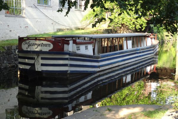
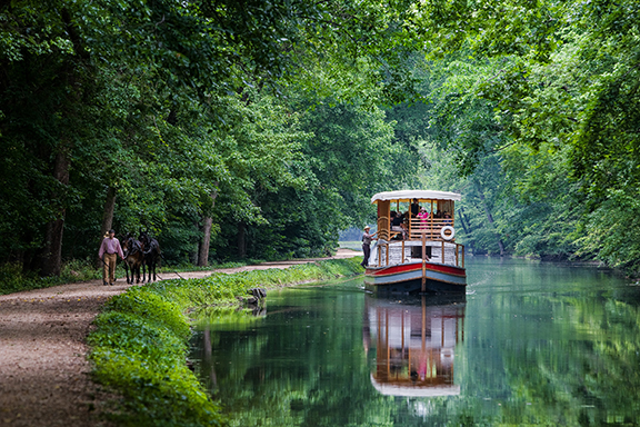
The towpath is the spine of the C&O Canal National Historical Park. The C&O Canal was built in the mid-nineteenth century as a transportation route to bring goods from the Ohio river valley to eastern markets. (Learn more about the canal’s history here.) The canal boats were towed up and down the canal by mules on a path that ran beside the canal basin — hence the term “towpath.” Today, the towpath is a 184.5 mile long recreational path ideal for bikers and hikers due to its flat nature with very little incline. It is the main path to take while you explore the Park.
Visit the Paw Paw Tunnel
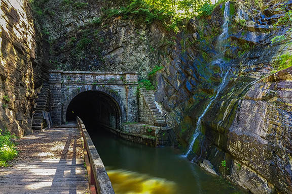
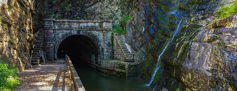
One of the engineering marvels of the C&O Canal, the Paw Paw Tunnel is almost exactly 6/10ths of a mile long and is constructed of almost 6 million bricks. It cut 6 miles off the length of the Canal, by tunneling through a mountain. The alternative to building the Tunnel was to make the Canal follow two of the Paw Paw Bends, a twisting 6-mile long section of the Potomac River. Be sure to take a flashlight if you journey through the tunnel — it’s dark in there!
Marvel at Historic Aqueducts
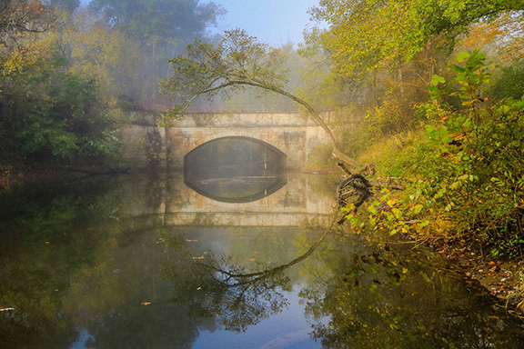
Four of the Park’s eleven aqueducts stand along the C&O Canal in the western region – some of the most impressive of the canal structures that stand today. Aqueducts transported the canal over streams and tributaries. The aqueducts are all different – the stone they were constructed with varies, including red sandstone, grey limestone, white granite, white and pink quartzite. They stand testament to the engineering ingenuity and devoted labor that went into the canal’s construction and the important role it played in the growth of our country. The Sideling Hill, Fifteenmile Creek, Town Creek, and Evitts Creek Aqueducts stand in the western region of the Park.
Visit the C&O Canal Museum at Cumberland
Housed in the historic 1913 Western Maryland Railway Station, the C&O Canal Visitors Museum provides a hands-on way to experience the history of the C&O Canal. Featuring an exhibit area with interactive and educational displays about the history of the C&O Canal and Cumberland, visitors can explore a model of the Paw Paw Tunnel to learn about the day-to-day life of the canal families and glimpse the entrance of a coal mine to learn about the main product shipped along the canal. Exhibits are on view of a model lock, boatbuilding, and Cumberland as a transportation crossroads. Children will enjoy several interactive exhibits – most notably Mutt the mule.
Explore Canal Towns
The western section features two Canal Towns, each a unique stop full of quaint shops and eateries, and a storied past with a direct link to the C&O Canal. Don’t miss Hancock (mile marker 124.0) and Cumberland (mile marker 184.5).
Visit the Green Ridge State Forest
Directly adjacent to the canal for nearly 18 miles is Green Ridge State Forest. At 47,560 acres, Green Ridge is the largest contiguous block of public land in Maryland – offering 50 miles of hiking trails and 200 miles of both dirt and gravel roads through the forest. Today, visitors have an array of entertainment options: hunting, fishing, camping, hiking, mountain biking, paddling, etc. Abundant wildlife in the state forest include deer, turkey, black bear, and unusual plants.
Get Active
The C&O Canal National Historical Park offers four seasons of outdoor recreation opportunities! Nestled along the Potomac River, you can hike, bike, fish, climb, camp, paddle, boat, ride horses, and more. Ride bikes on the smooth surface of the Western Maryland Rail Trail or ride all the way to Pittsburgh on the Great Allegheny Passage.
Have the Full C&O Canal Experience
The C&O Canal is surrounded by dozens of unique heritage, cultural, and recreational opportunities! You can visit one of our ten Canal Towns, drive the C&O Canal Byway, or explore the history that is part of the Passages of the Western Potomac Heritage Area. The western region of the C&O Canal runs through Washington and Allegany Counties, so be sure to check out these tourism websites for more to do in the area.
Share This Page
The central section of the C&O Canal National Historical Park begins in Brunswick (mile marker 55.0) in Frederick County and runs through the beautiful Piedmont portion of Maryland to Washington County‘s Hancock (mile marker 124.0). This area is rich in Civil War history, features several towns that were built around the canal, and offers countless scenic vistas.
You can also copy this itinerary into our C&O Canal Itinerary Builder here.
Walk or Ride the Towpath
The towpath is the spine of the C&O Canal National Historical Park. The C&O Canal was built in the mid-nineteenth century as a transportation route to bring goods from the Ohio river valley to eastern markets. The canal boats were towed up and down the canal by mules on a path that ran beside the canal basin — hence the term “towpath.” Today, the towpath is a 184.5 mile long recreational path ideal for bikers and hikers due to its flat nature with very little incline. It is the main path to take while you explore the Park.
Visit Williamsport and the Cushwa Basin
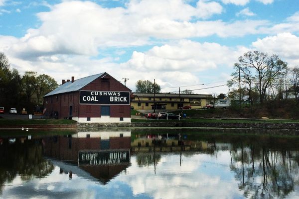
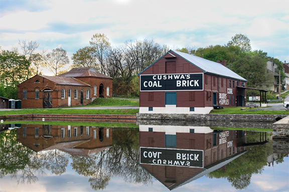
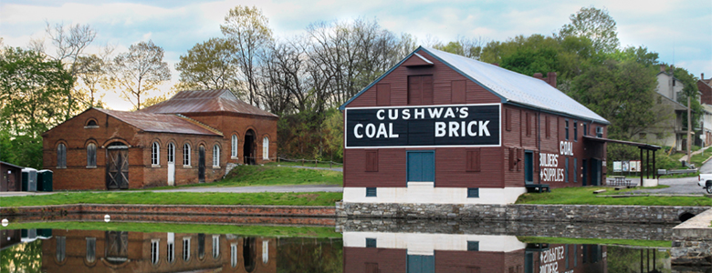
The Cushwa Basin, located in Williamsport, MD, is situated at the confluence of the Conococheague Creek and the Potomac River. A popular entry point to the C&O Canal towpath, there is a National Park Service Visitor Center located here, in the historic Cushwa Warehouse beside the basin. The neighboring Conococheague Aqueduct was rebuilt in 2019, and visitors can take a boat ride over the aqueduct, past Lockhouse 44, through a lock, and under the Railroad Lift Bridge. This historic area was once the home of brick manufacturing and shipment of coal along the Canal — canal boats would use the turning basin to load coal and bricks on their trips between Cumberland and Georgetown.
Stay in an Historic Lockhouse
Lockhouse 49 in Clear Spring has been rehabilitated, furnished with period décor, and opened for overnight stays. The Canal Quarters program, run by the C&O Canal Trust, allows guests the unique opportunity to step back in time and live life as the lock keepers once did. Six more Canal Quarters lockhouses are available in the eastern region. Learn more and book a stay here.
Marvel at Historic Aqueducts
Four of the Park’s eleven aqueducts stand along the C&O Canal in the central region – some of the most impressive of the canal structures that stand today. Aqueducts transported the canal over streams and tributaries. The aqueducts are all different – the stone they were constructed with varies, including red sandstone, grey limestone, white granite, white and pink quartzite. They stand testament to the engineering ingenuity and devoted labor that went into the canal’s construction and the important role it played in the growth of our country. The Antietam, Conococheague, Licking Creek, and Tonoloway Aqueducts stand in the central region of the Park.
Walk in the Footsteps of Civil War Soldiers
This section of the canal and the area surrounding it is hallowed ground, having seen multiple Civil War battles. Visit Harpers Ferry National Historical Park to learn about John Brown’s Raid and Antietam National Battlefield, site of the bloodiest day in American history.
Explore Canal Towns
The central section features several Canal Towns, each a unique stop full of quaint shops and eateries, and a storied past with a direct link to the C&O Canal. Don’t miss Brunswick (mile marker 55.0), Harpers Ferry and Bolivar (mile marker 60.7), Shepherdstown (mile marker 72.7), Sharpsburg (mile marker 76.5), Williamsport (mile marker 99.4), and Hancock (mile marker 124.0).
Visit Iconic Canal Landmarks
Besides the Cushwa Basin and Conococheague Aqeuduct in Williamsport, this section features Dam 4 and Dam 5, which harness the Potomac River for its power, the Ferry Hill historic home, and Big Slackwater, a cement portion of towpath that sweeps along the Potomac, providing scenic water views.
Get Active
The C&O Canal National Historical Park offers four seasons of outdoor recreation opportunities! Nestled along the Potomac River, you can hike, bike, fish, climb, camp, paddle, boat, ride horses, and more. The Appalachian Trail, which runs from Maine to Georgia, intersects with the C&O Canal from Lock 31 at Weverton (mile marker 58.0) to Harpers Ferry (mile marker 60.7).
Have the Full C&O Canal Experience
The C&O Canal is surrounded by dozens of unique heritage, cultural, and recreational opportunities! You can visit one of our ten Canal Towns, drive the C&O Canal Byway, or explore the history that is part of the Heart of the Civil War Heritage Area. The central region of the C&O Canal runs through Frederick and Washington Counties, so be sure to check out these tourism websites for more to do in the area.
Share This Page
‘Lockhouse 44 Parking Lot Looking Into the Canal’ by Ellen Kinzer
There is a lot to explore in the eastern region of the canal, which begins in urban Georgetown in Washington DC (mile marker 0.0) and runs through the suburbs of Montgomery County. As you move farther west towards Frederick County, the area surrounding the Park becomes more rural. It ends in Brunswick (mile marker 55.0).
You can also copy this itinerary into our C&O Canal Itinerary Builder here.
Walk or Ride the Towpath
The towpath is the spine of the C&O Canal National Historical Park. The C&O Canal was built in the mid-nineteenth century as a transportation route to bring goods from the Ohio river valley to eastern markets. The canal boats were towed up and down the canal by mules on a path that ran beside the canal basin — hence the term “towpath.” Today, the towpath is a 184.5 mile long recreational path ideal for bikers and hikers due to its flat nature with very little incline. It is the main path to take while you explore the Park.
Visit the Great Falls Area and Ride a Mule-Drawn Canal Boat
Arguably the most popular part of the C&O Canal National Historical Park, the Great Falls Area offers hiking trails, scenic overlooks of the powerful Potomac River thundering through the rocky “Great Falls,” a visitor center in a historic tavern, and the opportunity to ride a mule-drawn canal boat through a working lock (returning in 2022).
Stay in an Historic Lockhouse
Six historic lockhouses in the eastern region have been rehabilitated, furnished with period décor, and opened for overnight stays. The Canal Quarters program, run by the C&O Canal Trust, allows guests the unique opportunity to step back in time and live life as the lock keepers once did. A seventh Canal Quarters lockhouse is available in the central region. Learn more and book a stay here.
Hike the Billy Goat Trails
The three Billy Goat Trails are some of the most popular hiking trails in the area. All start and end on the towpath and include rock scrambling and scenic views. As of 2020, Billy Goat Trail B has been closed due to trail damage, but A and C are open for your enjoyment.
Marvel at Historic Aqueducts
Three of the Park’s eleven aqueducts stand along the C&O Canal in the eastern region – some of the most impressive of the canal structures that stand today. Aqueducts transported the canal over streams and tributaries. The aqueducts are all different – the stone they were constructed with varies, including red sandstone, grey limestone, white granite, white and pink quartzite. They stand testament to the engineering ingenuity and devoted labor that went into the canal’s construction and the important role it played in the growth of our country. The Alexandria, Seneca, Monocacy, and Catoctin Aqueducts stand in the eastern region of the Park.
Have the Full C&O Canal Experience
The C&O Canal is surrounded by dozens of unique heritage, cultural, and recreational opportunities! You can visit one of our ten Canal Towns, drive the C&O Canal Byway, or explore the history that is part of the Heritage Montgomery and Heart of the Civil War Heritage Areas. The eastern region of the C&O Canal runs through Washington DC, Montgomery and Frederick Counties, so be sure to check out these tourism websites for more to do in the area.
Photo: Old Railroad Bridge Pier between MM 97 and 98 by MJ Clingan
You may already be deep into your summer reading list, but you may want to add some of these popular books featuring the C&O Canal. Whether you’re interested in historical fiction, nonfiction, or books for children, this list has something for everyone who loves the canal! This list is not exhaustive; books were selected based on popularity, quality, and availability on major book-selling websites.
Historical Fiction
River, Cross My Heart: A Novel by Breena Clarke
An Oprah’s Book Club selection, this novel is set in 1920’s Washington, DC, and tells the story of young girl’s tragic drowning in the Potomac River, and the subsequent fallout in her Georgetown neighborhood.
Canawlers by James Rada, Jr.
Set on the C&O Canal during the Civil War, Canawlers is the first book in a series about the Fitzgeralds, a fictional family of canal boaters who are also part of the Underground Railroad. This book is perfect for both C&O Canal and Civil War history buffs!
Historical Non-Fiction
The Grand Idea: George Washington’s Potomac and the Race to the West by Joel Achenbach
This book follows George Washington in his attempt to connect the East Coast to the Western territories by constructing the C&O Canal. This is an excellent read for fans of George Washington, the history of early America, and of course, the C&O Canal.
Home on the Canal by Elizabeth Kytle
This illustrated book provides a thorough and comprehensive history of the canal from its origins and construction in the early 19th century to the effort to preserve it as a national park that culminated in 1971. The book also includes first-hand accounts from several men and women who worked and lived on the canal, providing rare insight into their daily lives and experiences.
Children’s Books
Captain Kate by Carolyn Reeder
The story of Captain Kate follows a young girl whose family hauls coal on the C&O Canal during the Civil War. With her stepfather off fighting in the war, Kate must step up and provide for the family by making the difficult 184.5-mile journey down the canal. This historical fiction book for young readers is a great way to introduce your kids to the history of the C&O Canal.
Guidebooks
The C&O Canal Companion (2nd ed.) by Mike High
This book offers a comprehensive mile-by-mile guide to the history and features of the C&O Canal with accompanying photographs and illustrations. The book also includes practical information about biking, boating, and other popular recreational activities in the Park. The second edition delves deeper into the history, featuring more information on the Native Americans and African Americans who lived in the region, as well as updated information on recreational facilities.
Towpath Guide to the C&O Canal by Thomas F. Hahn
Another excellent and comprehensive guidebook, the Towpath Guide to the C&O Canal, also provides a detailed mile-by-mile guide with modern and historic photographs, and detailed maps of specific sections of the canal. The book also includes information about Canal Towns and the Canal Quarters program.
Memoir
Get Up and Ride by Jim Shea
Jim Shea’s memoir recounts his true and hilarious journey along the Chesapeake & Ohio Canal towpath and the Great Allegany Passage. Described as “a lighthearted take on friendship and some hilarious fun,” Shea details his cycling trip with his brother-in-law Marty.
The C&O Canal Trust also offers a diverse selection of books about the canal at our online store, including guidebooks to the C&O Canal and GAP Trail, and local history books that feature stunning scenic photography of the most beautiful places in the Park. Browse the selection here.
As many visitors of the C&O National Historical Park will tell you, the canal is a very photogenic place. From birds to flowers to landmarks, the canal serves as not only a place to escape from our busy lives, but a picturesque landscape for photographers to create art.
Below we have listed the 15 most instagrammable spots in the canal. We hope this will urge you to get out and explore the beauty of the Park. Share your photos with us by tagging the C&O Canal on Facebook or Instagram!
You can also enter your photos in our monthly Photo Contest.
‘Resurfaced Towpath’ by Simon Barber
Thanks to the funding support of private donors to the C&O Canal Trust, along with funds from the National Park Service and the State of Maryland, resurfacing crews continue their march up the towpath. As of this spring, 42 miles of the C&O Canal’s towpath between Edwards Ferry and Lock 38/Shepherdstown Bridge have been graded and resurfaced. The Park anticipates a further 14 miles from Swains Lock to Edwards Ferry to be completed by the end of 2020.
The work is part of the “Towpath Rehabilitation: A Safe Towpath” project, aimed at improving more than 80 miles of the 184.5 mile-long towpath by removing the rocks, roots, and ruts in the towpath surface that can be dangerous to cyclists and hikers. “Nearly 5 million visitors recreate along the C&O Canal each year and nearly all of them use the towpath for a variety of activities,” Superintendent Tina Cappetta said. “We want to ensure that our visitors have a safe, durable towpath for years to come.”
Besides removing obstacles from the towpath, the resurfacing work is also removing the grassy median strip that contributes to puddling. Crews are then grading the towpath to facilitate water runoff and resurfacing it with the same crushed stone dust that is used on the Great Allegheny Passage, the rail trail that connects to the C&O Canal towpath in Cumberland, MD, and runs to Pittsburgh, PA.
The current towpath surface is gravel over clay, which holds water and is prone to muddiness when wet. The new crushed stone dust does not retain water when applied to a properly graded surface and hardens with use, making it less likely to erode and rut. It is also easier to maintain over time.
The C&O Canal Trust has raised funds to support this work and engage an engineering consultant to provide technical expertise to the National Park Service for this project. We have also assisted with advocacy work to secure $1.14 million as of 2019 from Maryland’s Transportation Alternatives Program.