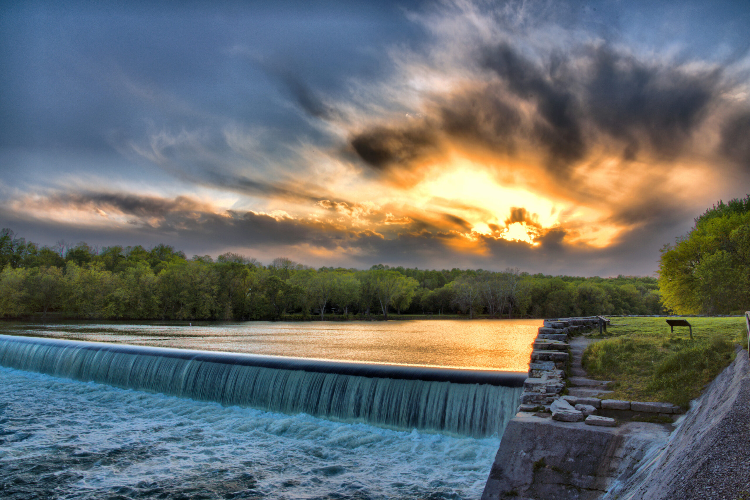
Sky Fire at Dam 5 by Margaret J Clingan
The C&O Canal’s official designation as a historical park is based on the Park’s rich transportation history, but the park offers a multitude of recreational opportunities as well. Visitors can enjoy everything from hiking to cycling, climbing, paddling, fishing, and more. There’s no shortage of things to see and do at the park, and you’ll enjoy nature and beautiful scenic landscapes along the way. Always check the Park’s website before heading out – some trails and locations close periodically. (https://www.nps.gov/choh/planyourvisit/conditions.htm)
You can also copy this itinerary into our C&O Canal Itinerary Builder here.
Jump to:
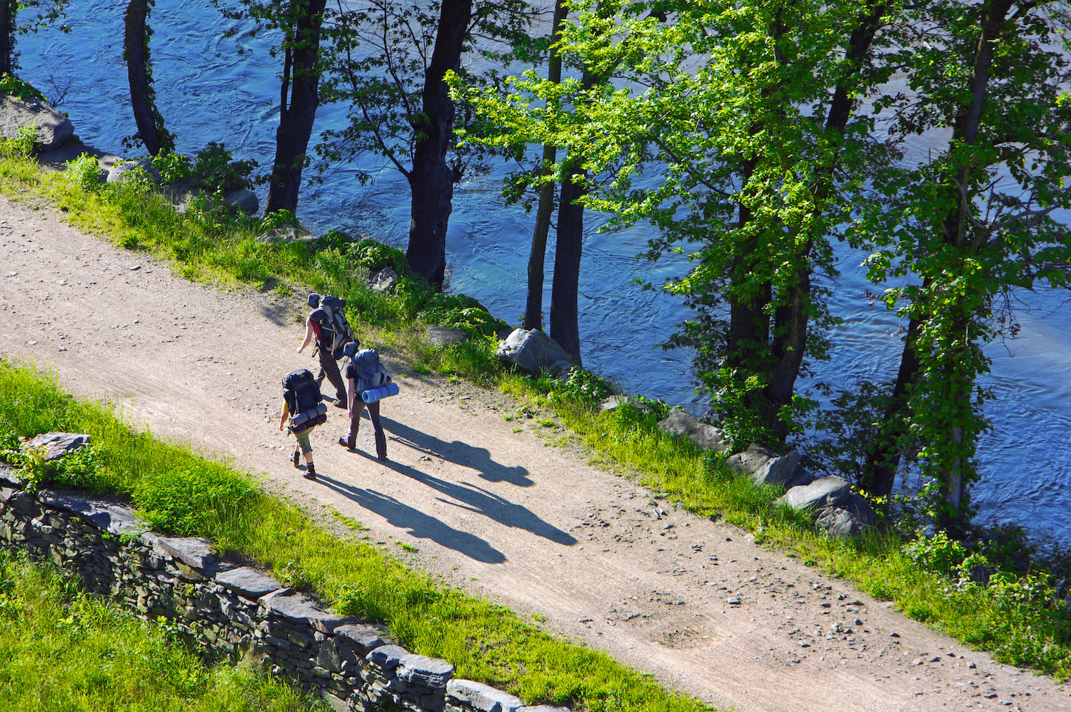
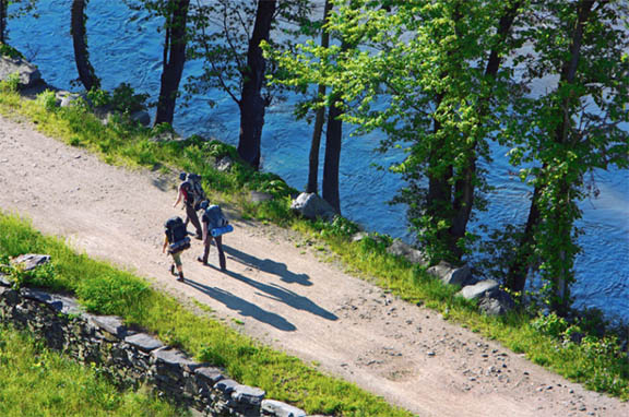
‘Towpath Hikers East of Harpers Ferry Near Milepost 60’ by Jim Kirby
Hiking
The C&O Canal National Historical Park has hiking opportunities for hikers of all skill levels, ranging from hiking on the flat, level terrain of the towpath to rock scrambling on the Billy Goat A trail, by far the most challenging of all the Park’s trails. In addition to 184.5 miles of flat towpath, there are 14 miles of trails in the Great Falls area, the Paw Paw Tunnel Trail, plus a number of trails that are adjacent to the park. Hikers should always bring water, wear proper footwear, and be prepared for changing weather conditions. Trail maps are available at visitor centers and on the Park’s website.
East: DC to Brunswick
Mile Marker 9.9-10.9
Billy Goat Trail C
Billy Goat Trail C is the easiest of the three Billy Goat Trails. The 1.7 mile loop has both an East Trailhead at mile marker 11.2 and a West Trailhead at mile marker 12.3. The trail offers outstanding views of the Potomac River. It features beautiful wildflowers in the spring and even has a small waterfall.
Mile Marker 11.3-12.3
Billy Goat Trail B
Considered to be moderately difficult, Billy Goat Trail B includes some rock scrambles but is not as challenging as Billy Goat Trail A. It passes through a floodplain forest and along the Potomac River, offering beautiful views and oftentimes bird sightings. The trail is 1.4 miles long and can be accessed from the towpath near Anglers or Carderock.
Mile Marker 12.8-13.8
Billy Goat Trail A
Billy Goat Trail A is the most demanding of the three Billy Goat trails at Great Falls with plenty of rock scrambling. It is not suggested for novice hikers, small children, or dogs. As you climb over angled rocks and boulders, you’ll be rewarded with magnificent views of the Potomac River as it squeezes through Mather Gorge. The trail begins below Great Falls near the Stop Gate and ends on the towpath just upstream from the Park’s Anglers’ access point. The hike is a total of 1.7 miles, but you can make it a 3.7 mile loop by returning to your starting point via the towpath.
Mile Marker 13.6
Gold Mine Trail
The Gold Mine Loop Trail is considered a nature-lover’s delight, despite its close proximity to Washington, D.C. The most direct route to get there is the Gold Mine Spur Trail (0.8 miles), which begins near the Great Falls Tavern Visitor Center. It connects with the Gold Mine Loop that is 1.6 miles long. The loop has many intersections, all of which are clearly marked, leading to a network of other spurs and trails.
Mile Marker 14.4
River Trail
The River Trail, just upstream from Great Falls Tavern, winds along the Potomac, affording views of small rapids, eagles’ nests, and rocky outcroppings in the river. The trail is both shorter and flatter than Billy Goat A, making it an ideal way to take in the beauty of the mighty Potomac without any climbing or rock hopping. The trail is one mile, one way.
Mile Marker 14.7
Ford Mine Trail
The Ford Mine Trail is lollipop-shaped, meaning it is accessed via a straight out-and-back portion that connects to a loop. The trail is 2.7 miles long and easy to moderate in difficulty with one strenuous hill. While you won’t see any evidence of mining on the trail, you will be in the area of the old Ford Mine, a gold mine that operated in the Great Falls area.
Central: Brunswick to Hancock
Mile Marker 58.0-60.3
Appalachian Trail
The Appalachian Trail connects with the C&O Canal towpath at mile marker 58, following the towpath to Harpers Ferry, where it diverts across the footbridge and into the historic town. At Weverton, northbound hikers can hike approximately one mile to the spectacular view at Weverton Cliffs. Southbound hikers heading into Harpers Ferry can see Jefferson Rock and stop at the Appalachian Trail Conservancy before heading across the WV/VA state line in the direction of Keys Gap.
Mile Marker 61.1
Maryland Heights Trail
The view of Harpers Ferry and the confluence of the Potomac and Shenandoah Rivers from Maryland Heights is spectacular. The vantage point is well worth the 1,200-foot-climb to get there. Hikers start from several different locations for this hike depending on parking, but the trailhead is located just off of Harpers Ferry Road near milepost 61 on the C&O Canal. The trail itself is a steeply graded 4.1 miles round trip. The Stone Fort Loop Trail adds elevation and another two miles to your hiking distance.
West: Hancock to Cumberland
Mile Marker 144
Green Ridge State Forest
Green Ridge State Forest is directly adjacent to the C&O Canal in Allegany County. At 47,560 acres, Green Ridge is the largest contiguous block of public land in Maryland – offering 50 miles of hiking trails and 200 miles of both dirt and gravel roads through the forest. Across the Canal at Lock 58, a side trail leads to the extensive networks of trails at Green Ridge State Forest. After 21 miles, the trails rejoin with the towpath at Lock 67.
Mile Marker 154.8
Tunnel Hill Trail
The Tunnel Hill Trail is an alternative to walking a half mile through the Paw Paw Tunnel. The two mile trail begins from the downstream side of the tunnel with a series of moderate to difficult switchbacks, before leveling out the winding back down to the Canal level. The trail offers a walk through history and outstanding views of the Potomac River and tunnel gorge.
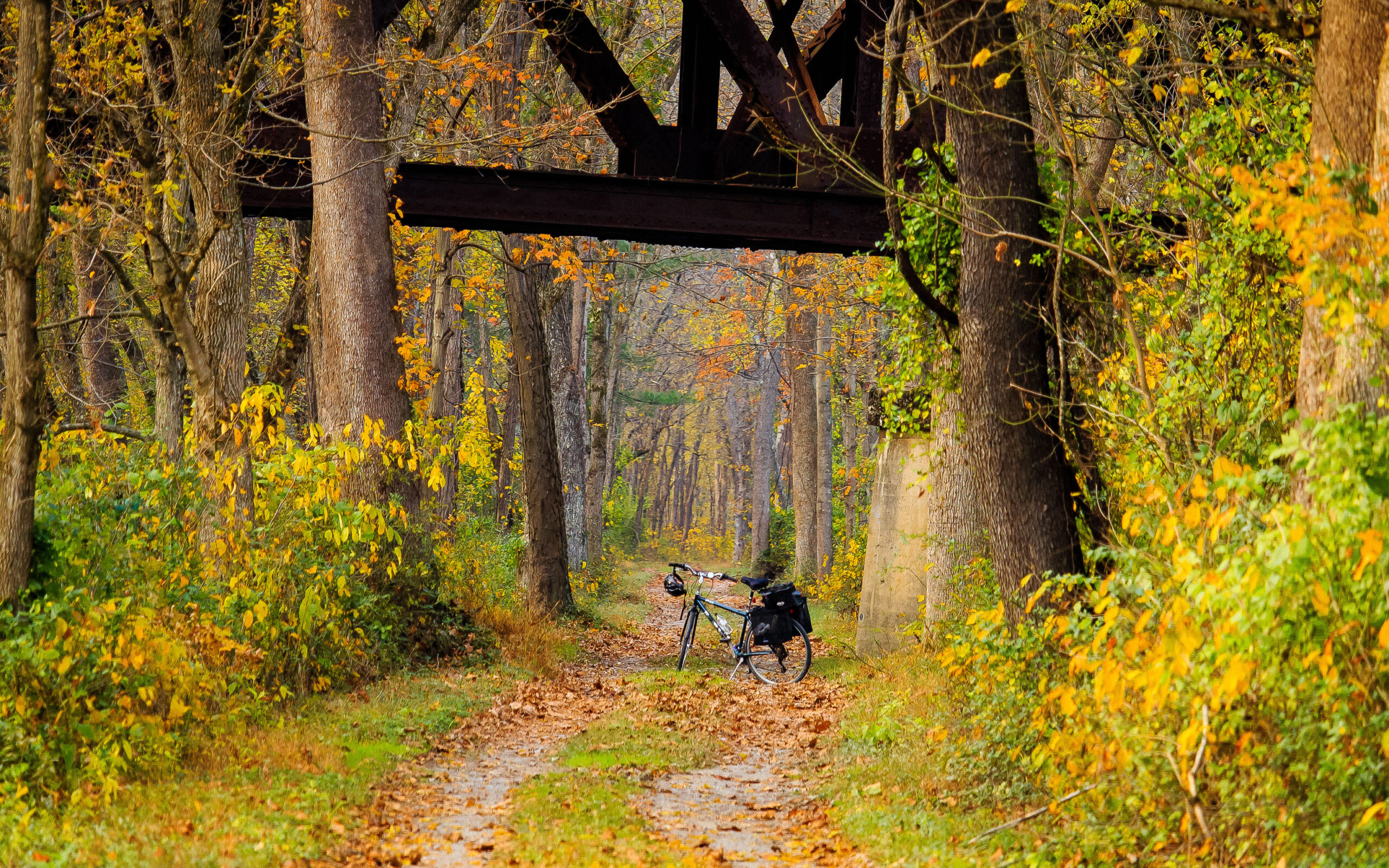
Under the Western Maryland RR Trestle by Paul Graunke
Cycling
The C&O Canal towpath is a bicyclist’s dream, perfect for day trips or bikepacking, with hiker/biker campgrounds conveniently spaced throughout the Park. There are also a number of trails for cycling that connect to the C&O Canal National Historical Park.
C&O Canal Towpath
The C&O Canal has 184.5 miles of towpath. The gravel path is mostly level and perfect for cyclists of all ages and abilities. Bicyclists are expected to ride single file, stay on the right except when passing, yield the right of way to all pedestrians and horses, and walk bikes across aqueducts. Bells and helmets are recommended for all cyclists, and helmets are required for children.
East: DC to Brunswick
Mile Marker 1.5-3.1
Capital Crescent Trail
The Capital Crescent Trail connects Georgetown with Silver Spring, MD. Combined with the Rock Creek Trail, it forms a 22 mile loop. Built on the abandoned rail bed of the 11 mile Georgetown Branch of the B&O Railroad, it closely parallels the canal for 1.7 miles before taking a right turn toward Bethesda.
Central: Brunswick to Hancock / West: Hancock to Cumberland
Mile Marker 114.4-136.2
Western Maryland Rail Trail: East Trailhead | West Trailhead
The Western Maryland Rail Trail is approximately 28 miles long and parallels the C&O Canal for its entire length, from Big Pool to Little Orleans. The easy grade and paved trail make it easy to travel. It can be accessed from a variety of points along the canal including Big Pool, Hancock, Pearre and Little Orleans.
Mile Marker 184.5
Great Allegheny Passage
The Great Allegheny Passage connects to the C&O Canal in Cumberland, extending 150 miles to Pittsburgh. The trail takes users over valleys, around mountains and alongside the Casselman, Youghiogheny, and Monongaleha Rivers on a nearly level path. Highlights include the Cumberland Narrows, the Eastern Continental Divide, the Laurel Highlands, Ohiopyle State Park, and Point State Park.
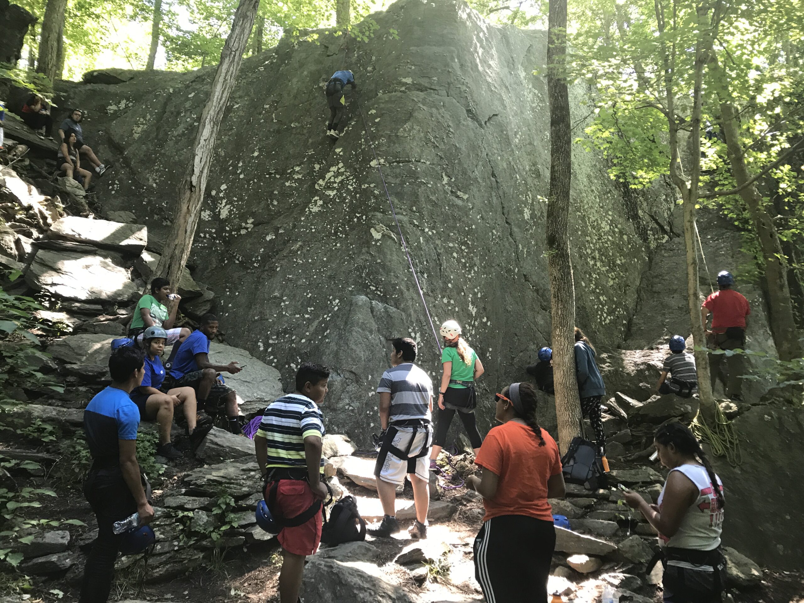
Rock Climbing by Trust Staff
Rock Climbing/Rock Scrambling
Rock climbing is allowed within selected areas of the park. Climbing outside of those areas is dangerous and has resulted in visitor injuries. Rock climbers should use proper equipment when climbing and stay within their abilities. Rock scrambling is also allowed in selected areas of the park. Hikers should stay on the trail at all times to avoid serious injuries, dress appropriately and stay hydrated.
East: DC to Brunswick
Mile Marker 10.5
Carderock Recreational Area
Carderock Recreation Area, located adjacent to the Clara Barton Parkway is the most popular rock climbing area in the park, with cliffs up to 80 feet high. Carderock has routes for climbers of all skill levels, including beginners. It’s a popular location for rock climbing classes.
Mile Marker 11.3-12.3
Billy Goat Trail B
Considered to be moderately difficult, Billy Goat Trail B includes some rock scrambles but is not as challenging as Billy Goat Trail A. It passes through a floodplain forest and along the Potomac River, offering beautiful views and oftentimes bird sightings. The trail is 1.4 miles long and can be accessed from the towpath near Anglers or Carderock.
Mile Marker 12.8-13.8
Billy Goat Trail A
Billy Goat Trail A is the most demanding of the three Billy Goat trails at Great Falls with plenty of rock scrambling. It is not suggested for novice hikers, small children or dogs. As you climb over angled rocks and boulders, you’ll be rewarded with magnificent views of the Potomac River as it squeezes through Mather Gorge. The trail begins below Great Falls near the Stop Gate and ends on the towpath just upstream from the park’s Anglers’ access point. The hike is a total of 1.7 miles but you can make it a 3.7 mile loop by returning to your starting point via the towpath.
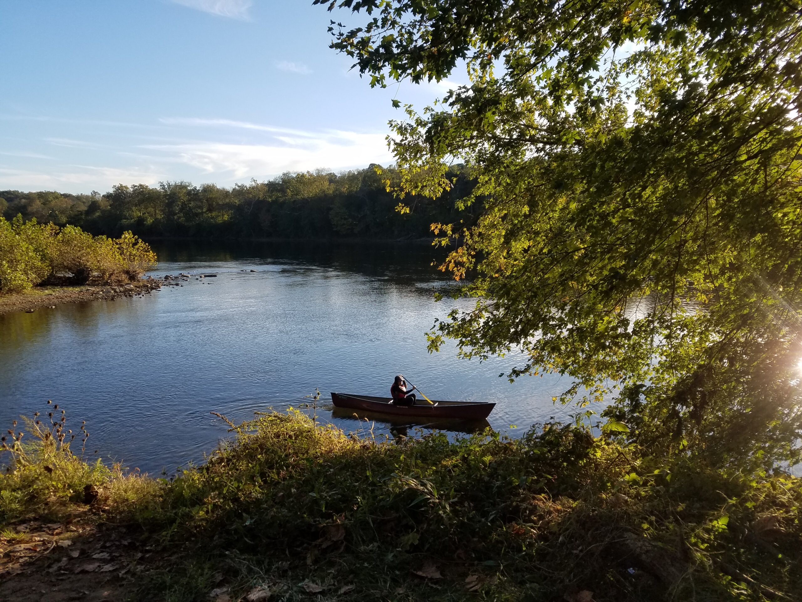
Paddling at Antietam Creek by Nora Slick
Paddling
Non-motorized boats are allowed in several re-watered sections of the C&O Canal. Boats must be carried around lift locks. Personal floatation devices should be used as required by the state of Maryland. The re-watered sections are:
Mile 0 to 22 Georgetown to Violettes Lock
Mile 99.3 to 99.8 Williamsport to Lock 44
Mile 112 to 113 Big Pool
Mile 120 to 121 Little Pool
Mile 124.1 to 124.7 Hancock
Mile 162 to 167 Oldtown to Town Creek
East: DC to Brunswick
Mile Marker 0.0
Thompson Boat Center
With easy access to the Potomac River, Thompson Boat Center offers classes and rentals for everyone from the first timer to the seasoned water adventurer. They can get you out on the water to kayak, canoe, row, or paddle. Thompson Boat Center is an authorized concessioner of the National Park Service.
Mile Marker 3.1
Fletcher’s Boathouse
Fletcher’s Boathouse is located close to the Potomac River and the C&O Canal. They offer guided SUP and canoe tours as well as boat rentals for paddling, rowboating, canoeing, and kayaking. Fletcher’s Boathouse is an authorized concessioner of the National Park Service.
Mile Marker 5.6
Kayak Run
There are 40 to 50 training gates at Kayak Run in Class I-II difficulty levels at normal river flow. Some of the nation’s most accomplished kayakers have spent hours perfecting their craft on Potomac River whitewater training runs. One training site is here on the feeder canal, originally built to allow the Potomac River to feed into the C&O Canal as it made its way into Georgetown.
Mile Marker 14.3
Great Falls
Paddling at Great Falls is extremely dangerous and best suited for expert level kayakers. Those in canoes should not attempt to paddle in this area. Rapids at Great Falls are classified as Class 5 and 6.
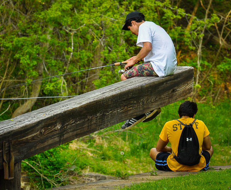
Kids Fishing by Mike Mitchell
Fishing
The canal and the Potomac River have many fishing spots for anglers. The upper Potomac is considered one of Maryland’s most popular freshwater fishing destinations. Forming Maryland’s southern boundary, the upper Potomac offers fishermen more than 160 miles of warm water fishing opportunities for smallmouth bass, walleye, muskie and channel catfish.
East: DC to Brunswick
Mile Marker 19.6
Pennyfield
Pennyfield Lock was a favorite fishing spot of President Grover Cleveland’s and remains a popular spot for anglers today. Northern snakehead fish can often be found here.
Central: Brunswick to Hancock / West: Hancock to Cumberland
Mile Marker 71.7
Boteler’s Mill/Potomac Mill
Boteler’s Mill, also known as Potomac Mill, is on the shore of the Potomac River in eastern Jefferson County, West Virginia, half a mile below Shepherdstown. The mill is a popular fishing area, and the water is usually shallow enough to allow for wading to take a closer look at the mill.
Mile Marker 84.6
Dam 4
Dam 4 is a scenic spot on the canal with a beautiful view of its roaring waters. Those turbulent waters below the dam are popular with anglers. It’s a well-known spot for good walleye fishing and catfish.
Mile Marker 99.6
Cushwa Basin
The re-watered section of the Canal, from Cushwa Basin to just below Lockhouse 44, is a popular spot for anglers of all ages and abilities. From bluegills to bass to carp and even some catfish, it’s a great place to teach first timers how to cast.
Mile Marker 112.1-113.8
Big Pool
Big Pool is a 1.5 mile long natural depression that was filled with water during C&O Canal construction. Located within Fort Frederick State Park, it’s a popular fishing and boating site with a boat ramp. It is primarily a warm water fishery with species like largemouth bass, catfish, carp, bluegill and more.
West: Hancock to Cumberland
Mile Marker 173.3
Spring Gap
Spring Gap to Hancock is one of the best fishing spots on the Potomac River and provides a wonderful place to relax in a peaceful setting. The boat ramp at Spring Gap is the westernmost boat ramp in the park.
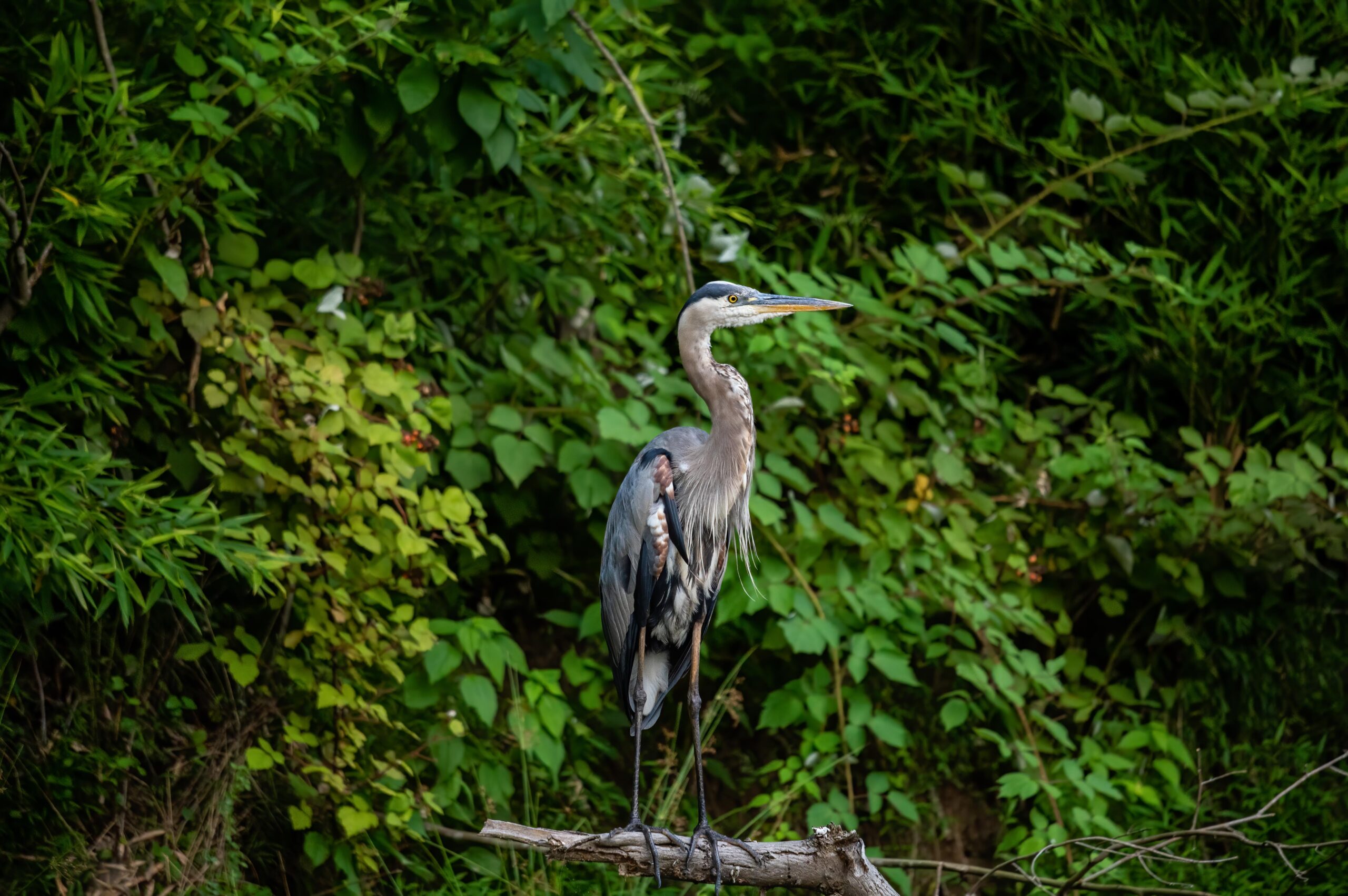
Blue Heron Near Mile Marker 16 by Indraneel Samanta
Private Outfitters
Thompson Boat Center
Washington, DC
-Sculling, kayaking, paddleboarding, canoeing, bicycling
-Rentals, classes, group events and tours
Fletcher’s Boathouse
Washington, DC
-Kayaking, paddleboarding, canoeing, rowboating, bicycling
-Rentals, classes, group events and nature tours
River & Trail Outfitters
Knoxville, MD
-Tubing, kayaking, canoeing, bicycling, etc.
-Guided adventures, rentals and sales
River Riders
Harpers Ferry, WV
-Tubing, kayaking, canoeing, paddleboarding, etc.
-Guided adventures, rentals and sales
Shepherdstown Pedal & Paddle
Shepherdstown, WV
-Kayaking, canoeing and bicycling
-Rentals, sales and service, shuttle service and group rides
C&O Bicycle
Hancock, MD
-Bicycle rentals, sales and service
Get Out & Play! Outfitters
Cumberland, MD
-Bicycle shuttle service
-Canoe and kayak rentals
